

Alpe Adria Trail
Alpe Adria Trail is made and published by Outdooractive AG. AppBrain is an independent app data site and isn't affiliated with Outdooractive AG. The app name, icon, screenshots and description belong to Outdooractive AG and are shown as published on the App Store.
AppBrain's verdict
- Rating on App Store
- 5.00
- 3 ratings
- Last updated
- January 15, 2025
It doesn't have enough ratings yet to judge what users think.
Rankings
App Store top chartsApp Store Rankings for Alpe Adria Trail
Competitors
Similar apps and more from Outdooractive AG











Releases
Updates seen on the App Store- Version
- 1.2.2
- Launched
- February 2022
No changelog data
User feedback
Ratings and reviews on the App StoreComments on Alpe Adria Trail for iOS
We don't have enough comments to show example comments. Please check back later.
Technology
Found in the app by AppBrain- Price
- Free
- App size
- 85.1 MB
- Content rating
- Everyone
Technologies used by Alpe Adria Trail
About the app and developer
About Alpe Adria Trail
Alpe Adria Trail is a travel app developed by Outdooractive AG.
User Ratings
Alpe Adria Trail is rated 5.00 out of 5 stars. The rating is based on 3 ratings.
App Information
Alpe Adria Trail is freely available from the App Store. The app size is 85.10 MB. The latest version available is 1.2.2. The last update was on January 15, 2025.
Technical Requirements
The app has a content rating of Everyone. The app has been available on the App Store since February 2022.
Developer information for Outdooractive AG
Address:
Store listing
By Outdooractive AG, from the App Store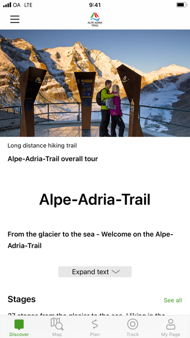


Description by Outdooractive AG Written by the developer, not by AppBrain. Click to read.
An essential component of the app is the detailed information that is provided for each stage: the course of the stages, attractions and establishments.
The tours/stages, including all tour details and relevant map sections, can be stored on a smartphone and can be accessed offline, if required (for example, if you are in another country, in areas with weak network coverage, or when data roaming would be too expensive).
The tour descriptions contain all the facts, images and elevation profiles you might need. As soon as a tour is started, you can determine your own position (including determining which direction you are facing) easily in the topographic map and, in this way, follow the course of the route.
Please note: In other countries high roaming costs can occur, therefore, when using the app, make sure all necessary information can be accessed offline by downloading it at a flat rate or via Wi-Fi before starting your journey.
Background use of the app with activated GPS reception can drastically shorten battery life!
Apple Health:
When you record a cycling, hiking, walking or running track you are able to save work outs to Apple Health. Data from HealthKit will not be used for marketing or promotional purposes.