
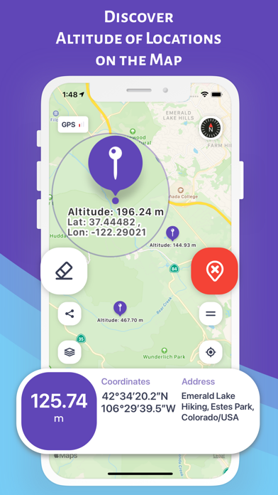
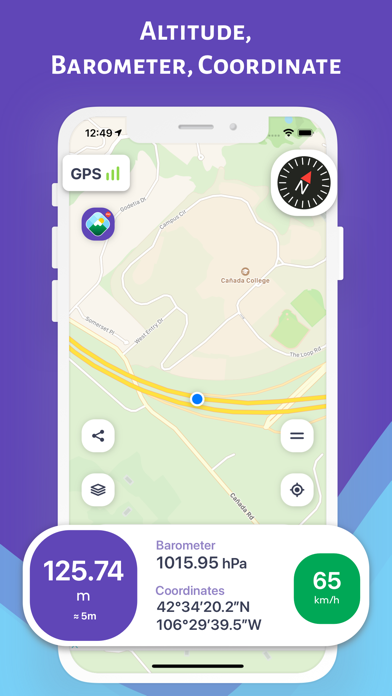
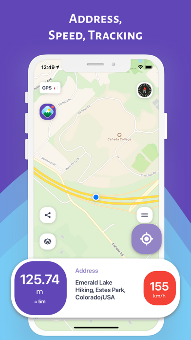
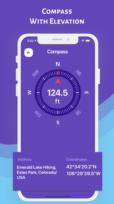
Altimeter Pro: Compass, GPS
2.1
Furkan Ozoglu
4.48
42 reviews
$6.99
About Altimeter Pro: Compass, GPS
Altimeter Pro: Compass, GPS is an overall app developed by Furkan Ozoglu.
Download Statistics
User Ratings
Altimeter Pro: Compass, GPS is rated 4.48 out of 5 stars. The rating is based on 42 ratings.
App Information
Altimeter Pro: Compass, GPS costs $6.99 to download. The APK download size is 89.65 MB. The latest version available is 2.1. The last update was on October 31, 2024.
Technical Requirements
The app has a content rating of Everyone. The app has been available on Google Play May 2017.
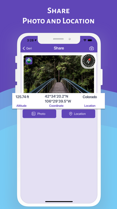
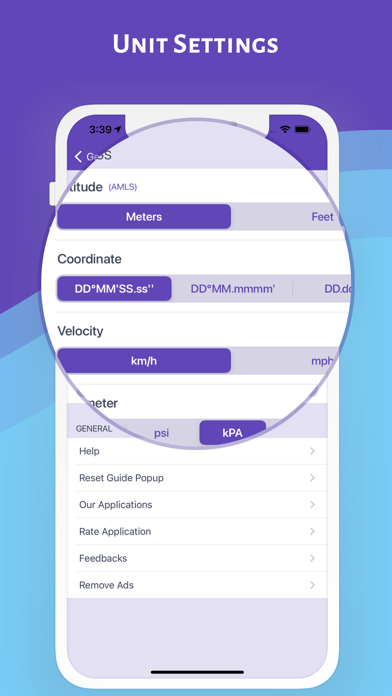
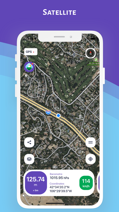
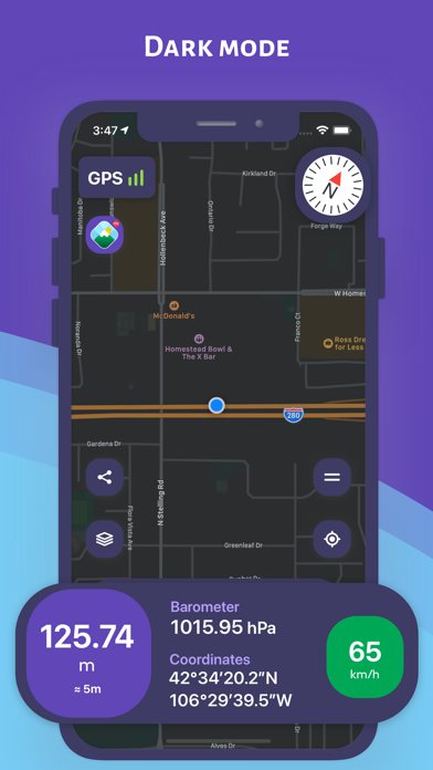
Description
More data about Altimeter Pro: Compass, GPS
| Price | $6.99 |
| Rating | 4.48 based on 42 ratings |
| Ranking | Highly ranked |
| Version | 2.1 |
| App download size | 89.7 MB |
| Suitable for | Everyone |
Alternative downloads for the Altimeter Pro: Compass, GPS app


More from Furkan Ozoglu


Changelog of Altimeter Pro: Compass, GPS
No changelog data
Developer information for Furkan Ozoglu
Furkan Ozoglu
Address:
Comments on Altimeter Pro: Compass, GPS for iOS
We don't have enough comments to show example comments. Please check back later.
App Store Rankings for Altimeter Pro: Compass, GPS
Top rankings
Ranking history in Turkey
AppBrain offers valuable information about your app and those of your competitors. Join AppBrain for free and claim this app to view more ranking data, view history etc.
I'm the developer of this app
Technologies used by Altimeter Pro: Compass, GPS
Back to top