

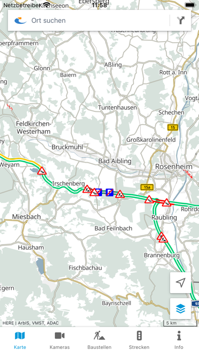
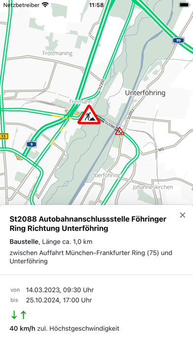
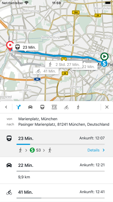
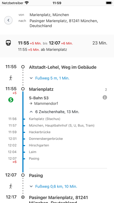
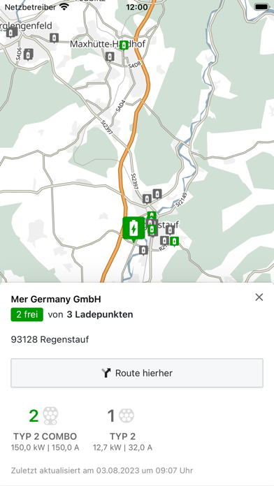
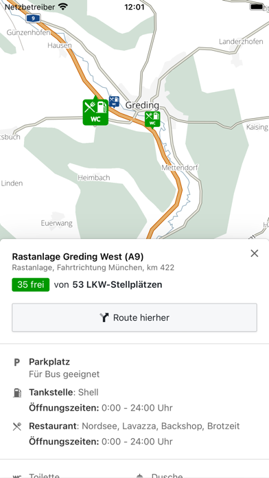
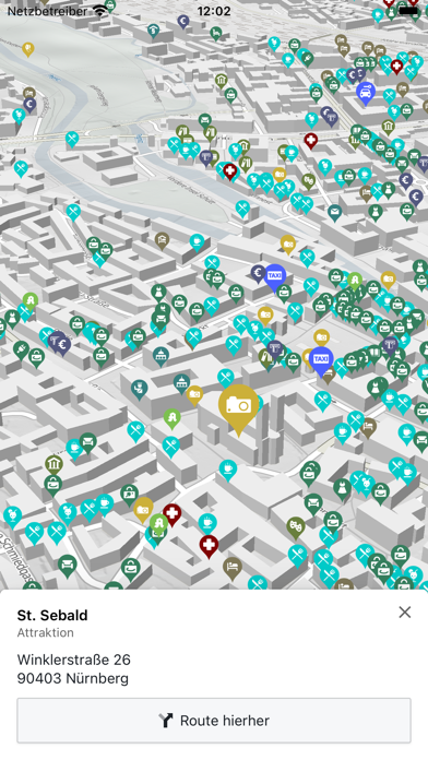
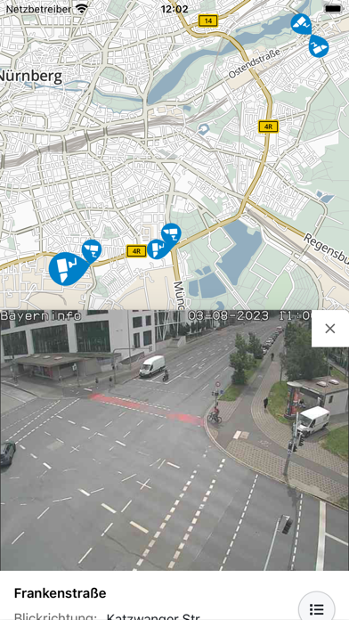
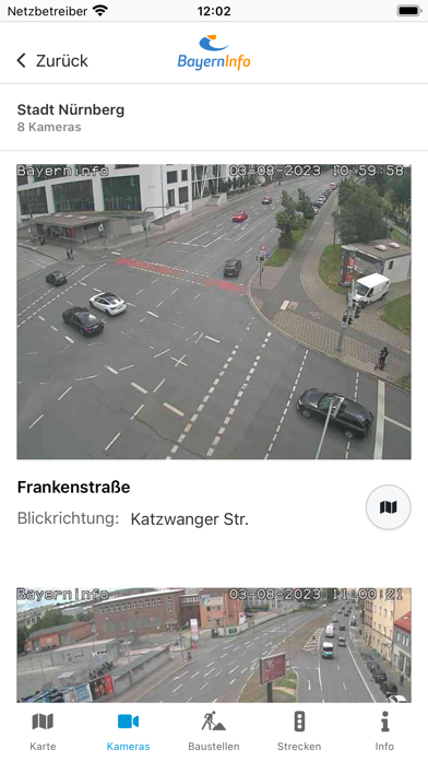
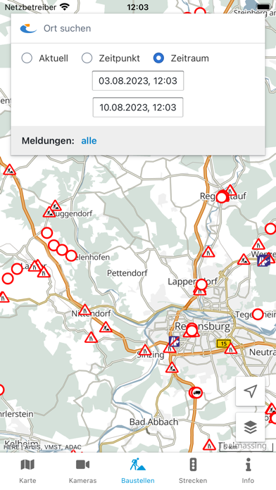
About BayernInfo Maps
BayernInfo Maps is a travel app developed by KPConsult GmbH.
User Ratings
The app has no ratings yet.
App Information
BayernInfo Maps is freely available from the App Store. The app size is 7.70 MB. The latest version available is 4.11.4. The last update was on October 8, 2026.
Technical Requirements
The app has a content rating of Everyone. The app has been available on the App Store since July 2011.
BayernInfo Maps is made and published by KPConsult GmbH. AppBrain is an independent app data site and isn't affiliated with KPConsult GmbH. The app name, icon, screenshots and description belong to KPConsult GmbH and are shown as published on the App Store.
More data about BayernInfo Maps
| Price | Free |
| Rating | No ratings |
| Ranking | Not ranked |
| Version | 4.11.4 |
| App size | 7.70 MB |
| Suitable for | Everyone |
Alternatives to BayernInfo Maps






Changelog of BayernInfo Maps
No changelog data
Developer information for KPConsult GmbH
Address:
Comments on BayernInfo Maps for iOS
We don't have enough comments to show example comments. Please check back later.
App Store Rankings for BayernInfo Maps
Technologies used by BayernInfo Maps
Frequently asked questions about BayernInfo Maps
Is BayernInfo Maps free?
Yes. BayernInfo Maps is free on the App Store.
Is BayernInfo Maps still available?
Yes. BayernInfo Maps is on the App Store, and the last update we saw was on October 8, 2026.
How large is BayernInfo Maps?
BayernInfo Maps is 7.70 MB.
Is BayernInfo Maps suitable for children?
App Store rates the content of BayernInfo Maps as suitable for everyone.
Who made BayernInfo Maps?
BayernInfo Maps was developed by KPConsult GmbH. It is listed in the travel category on the App Store.
What are the best alternatives to BayernInfo Maps?
People looking at BayernInfo Maps also look at these travel apps: MoBY, Bayern in historischen Karten, Deutsche Ferien & Feiertage, Weser-Radweg, Berchtesgadener Land Touren.