

Bieszczady and Upper San
Bieszczady and Upper San is made and published by Amistad sp. z o.o. AppBrain is an independent app data site and isn't affiliated with Amistad sp. z o.o. The app name, icon, screenshots and description belong to Amistad sp. z o.o. and are shown as published on the App Store.
AppBrain's verdict
- Last updated
- May 8, 2023
- Size
- 160.8 MB
User feedback
Ratings and reviews on the App StoreComments on Bieszczady and Upper San for iOS
We don't have enough comments to show example comments. Please check back later.
Store listing
By Amistad sp. z o.o., from the App Store


Description by Amistad sp. z o.o. Written by the developer, not by AppBrain. Click to read.
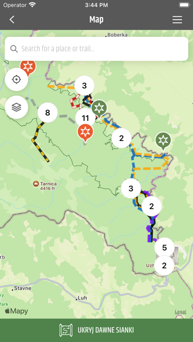
Bywa i tak, że po naszej ścieżce przeszedł wilk, ryś lub niedźwiedź, pozostawiając odciśnięte tropy. Będziemy mieć też okazję do podziwiania dzikich i malowniczych zakoli Sanu, jak też wypatrywania życia po stronie ukraińskiej, gdzie po dawnemu pasą się krowy, czasem przejedzie jakiś pociąg lub zabiją dzwony pobliskich cerkwi. Po polskiej stronie natomiast, po dawnych mieszkańcach tutejszych wsi pozostały tylko ukryte ślady, w odkrywaniu których pomoże przygotowany przewodnik w formie aplikacji.
Aplikacja została wykonana w ramach mikroprojektu pn.: Świat przyrody i kultury Karpat Wschodnich – wspólna promocja – lepsza ochrona”, współfinansowanego przez UE z Europejskiego Funduszu Rozwoju Regionalnego oraz budżetu państwa za pośrednictwem Euroregionu Karpackiego w ramach Programu Współpracy Transgranicznej Interreg V-A PL-SK 2014-2020.
Aplikacja używa lokalizacji i audio w tle w trakcie działania audioprzewodnika i nawigacji po trasie. Przed zamknięciem aplikacji zakończ nawigację po trasie i audioprzewodnik w celu oszczędzania zużycia baterii.
Safety and technology
Found in the app by AppBrain- Price
- Free
- App size
- 160.8 MB
- Content rating
- Everyone
Technologies used by Bieszczady and Upper San
Releases
Updates seen on the App Store- Version
- 1.2
- Launched
- August 2020
No changelog data
Alternatives
Similar apps and more from Amistad sp. z o.o.Alternatives to Bieszczady and Upper San


More from Amistad sp. z o.o.








Rankings
App Store top chartsApp Store Rankings for Bieszczady and Upper San
About the app and developer
About Bieszczady and Upper San
Bieszczady and Upper San is a travel app developed by Amistad sp. z o.o.
User Ratings
The app has no ratings yet.
App Information
Bieszczady and Upper San is freely available from the App Store. The app size is 160.81 MB. The latest version available is 1.2. The last update was on May 8, 2023.
Technical Requirements
The app has a content rating of Everyone. The app has been available on the App Store since August 2020.
Developer information for Amistad sp. z o.o.
Address: