

Cape to Cape Track Guide
Cape to Cape Track Guide is made and published by Find the Fun Pty Ltd. AppBrain is an independent app data site and isn't affiliated with Find the Fun Pty Ltd. The app name, icon, screenshots and description belong to Find the Fun Pty Ltd and are shown as published on the App Store.
AppBrain's verdict
EstablishedTop 10- Best rank
- #10
- Top Paid, Australia
- Rating on App Store
- 5.00
- 2 ratings
- Last updated
- March 7, 2026
It doesn't have enough ratings yet to judge what users think. Its best ranking is #10 in Top Paid, Travel in Australia.
Rankings
App Store top charts- Highest rank
- #10
- Chart
- Top Paid
- Travel
- Country
- Australia
Competitors
Similar apps and more from Find the Fun Pty LtdAlternatives to Cape to Cape Track Guide


More from Find the Fun Pty Ltd





Also available on Google Play

Releases
Updates seen on the App Store- Version
- 27 (4.0.0)
- Launched
- June 2017
No changelog data
User feedback
Ratings and reviews on the App StoreComments on Cape to Cape Track Guide for iOS
We don't have enough comments to show example comments. Please check back later.
Technology
Found in the app by AppBrain- Price
- $17.99
- App size
- 48.1 MB
- Content rating
- Everyone
Technologies used by Cape to Cape Track Guide
About the app and developer
About Cape to Cape Track Guide
Cape to Cape Track Guide is a travel app developed by Find the Fun Pty Ltd.
User Ratings
Cape to Cape Track Guide is rated 5.00 out of 5 stars. The rating is based on 2 ratings.
App Information
Cape to Cape Track Guide costs $17.99. The app size is 48.12 MB. The latest version available is 27 (4.0.0). The last update was on March 7, 2026.
Technical Requirements
The app has a content rating of Everyone. The app has been available on the App Store since June 2017.
Developer information for Find the Fun Pty Ltd
Address:
Store listing
By Find the Fun Pty Ltd, from the App Store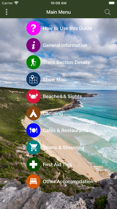
Description by Find the Fun Pty Ltd Written by the developer, not by AppBrain. Click to read.
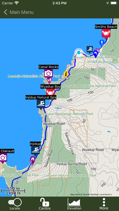
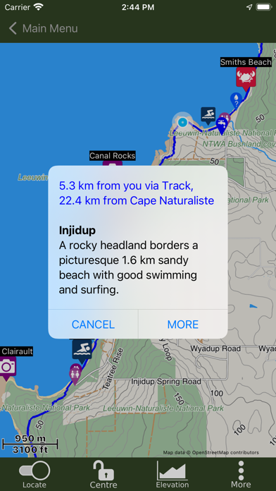
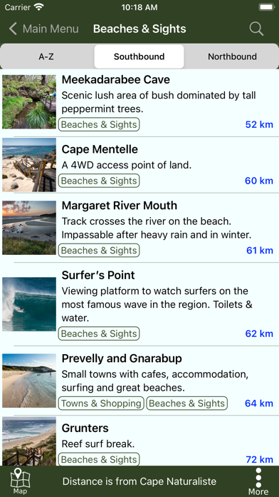
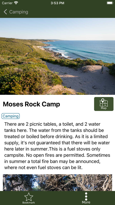
The guide works 100% without needing mobile phone reception or Internet access. The offline maps are very detailed, show the Cape to Cape Track, show where you are via GPS, and are marked up with camping areas, sightseeing, water sources, places to swim, some accommodation, restaurants and food shops, the best beachs, sights and many other points of interest. The App shows you how many kilometres you are from places like camping area and towns, and has an interactive elevation graph so you can see what hills are between you and places.
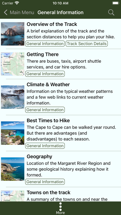
The App has advice on how to prepare for your trip, what gear to bring, when to walk, possible itineraries and suitable food. It has many other features, photos and information, as described below.
FEATURES:
- Very detailed offline maps. They ALWAYS work, even when mobile phone coverage and Internet are not available.
- The map is tuned to look great on a small phone screen and show details that a walker in the bush needs. You'll see details such as minor tracks at map zoom levels where most other maps hide them. So zoom out and tracks don't disappear from your map! Great for your safety and easier for you to navigate even with a tiny screen.
- Contour lines are shown on the map as you zoom in a little.
- Uses GPS to show your location.
- The map has extra markers for towns, camping areas, sights, places where you can get food, attractions, swimming spots and other points of interest.
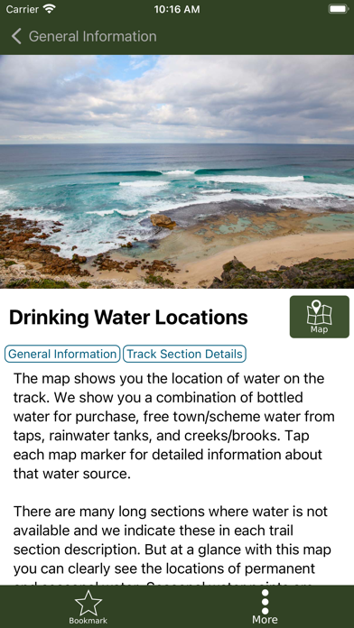
- Map markers also show you where to get water and the location of toilets.
- Tap place markers on the map and be shown your distance from them along the track. See how far away that camping area is!
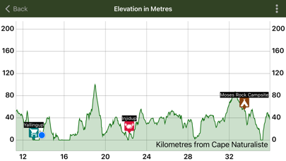
- An elevation graph that you can zoom-and-swipe to see all the hills and valleys along the track.
- The elevation graph shows your location and has markers for towns, camping and other places. Use it to see if you have to walk up any big hills to get to that next camping area?
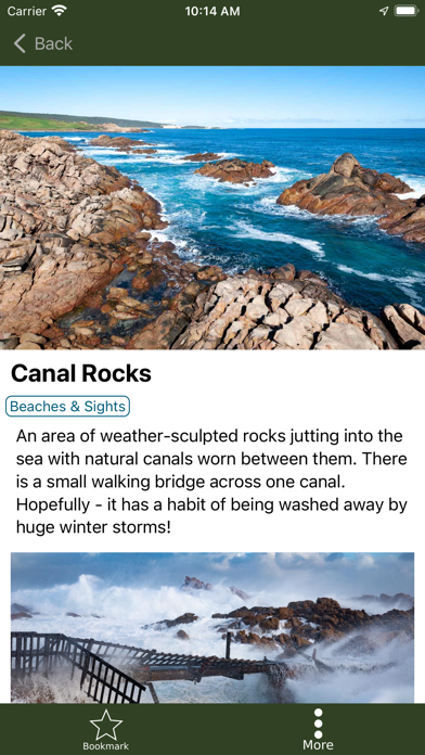
- Tap town, sightseeing, camping and other markers on the map to get detailed information and photographs for those places.
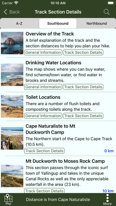
- Has descriptions and pictures of each section of the Track.
- Provides information on paid accommodation options. For those who want a bit more luxury than camping!
- Has a track overview, and information about camping, drinking water, safety, weather, animals and history of the Cape to Cape Track.
- Detailed advice and information on how to prepare for a multi-day trip, when to do your trip, what gear you need and suitable food.
- Describes transportation options such as buses and companies that provide shuttle services.
- No mobile phone coverage or internet is needed for the App to work. Put your phone in Airplane Mode to save battery power and continue to use the App (your phone's GPS will still work in Airplane Mode).
- The App turns off GPS when the screen is turned off, so will not use phone power when you are not using it.
- The guide has loads of beautiful photographs of the Track to inspire you!
You should never get lost because the maps always work and show you where you are, even when you stray from the Track. The great detail on the maps make it easy to follow bush tracks and paths to get back to the track.
This App was built by a small Western Australian software company located only 8 km from the northern termination of the Track. We know the track and the area intimately. We're confident our Cape to Cape Track Guide App will make your trip easier to plan, safer and more fun.