

Cartes IGN is made and published by IGN. AppBrain is an independent app data site and isn't affiliated with IGN. The app name, icon, screenshots and description belong to IGN and are shown as published on the App Store.
AppBrain's verdict
Established- Best rank
- #15
- Top Free, France
- Rating on App Store
- 3.00
- 2 ratings
- Last updated
- July 9, 2026
It doesn't have enough ratings yet to judge what users think. Its best ranking is #15 in Top Free, Navigation in France.
Rankings
App Store top charts- Highest rank
- #15
- Chart
- Top Free
- Navigation
- Country
- France
App Store Rankings for Cartes IGN
Top rankings
| Rank | Country | Category | List |
|---|---|---|---|
| 15 | France | Navigation | Top Free |
| 67 | Switzerland | Navigation | Top Free |
| 72 | Belgium | Navigation | Top Free |
Ranking history in France
Competitors
Similar apps and more from IGN





Releases
Updates seen on the App Store- Version
- 3.5.7
- Launched
- November 2013
No changelog data
User feedback
Ratings and reviews on the App StoreComments on Cartes IGN for iOS
We don't have enough comments to show example comments. Please check back later.
Technology
Found in the app by AppBrain- Price
- Free
- App size
- 33.9 MB
- Content rating
- Everyone
Technologies used by Cartes IGN
About the app and developer
About Cartes IGN
Cartes IGN is a navigation app developed by IGN.
What is the rating of Cartes IGN?
Cartes IGN is rated 3.00 out of 5 stars, based on 2 ratings.
Is Cartes IGN free?
Cartes IGN is free. The app size is 33.94 MB. The latest version available is 3.5.7. The last update was on July 9, 2026.
What are the requirements for Cartes IGN?
The app has a content rating of Everyone. The app has been available on the App Store since November 2013.
Developer information for IGN
Address:
Store listing
By IGN, from the App Store



Description by IGN Written by the developer, not by AppBrain. Click to read.
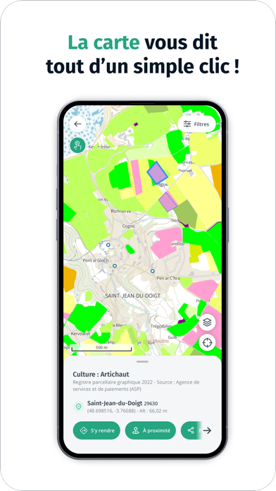
Est-ce un champ de maïs ? À quelle hauteur puis-je faire voler mon drone ? Combien y-a-t-il d’habitants dans cette commune ?... Un simple clic sur la carte interactive vous permet d’obtenir des détails sur ce qui vous entoure. Les curieux vont se régaler !
C’est nouveau ! Prenez de la hauteur et observez l’évolution des paysages français au fil du temps en comparant, tel un géographe, des photographies aériennes de différentes époques : vue du ciel, l’empreinte de l’homme sur le territoire est surprenante !
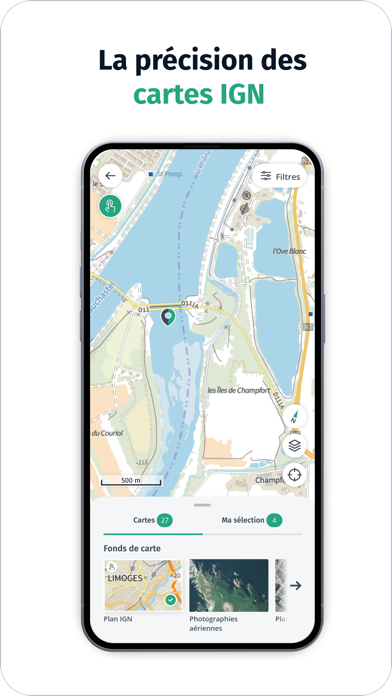
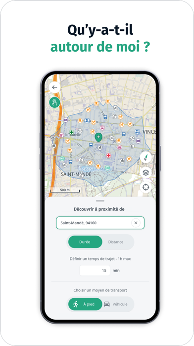
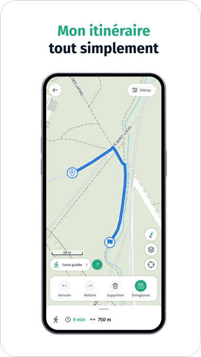
Envie de découvrir des curiosités autour de soi, en famille, dans un rayon de 2 km ? C’est très simple grâce à Cartes IGN, une application conçue pour tous, facile à prendre en main, qui propose aussi tous les outils pratiques pour vous déplacer sans être tracé : calculer un itinéraire, tracer un parcours, créer et enregistrer un point de repère, afficher sa position et la partager à ses proches…
Votre prochain plan découverte commence forcément avec Cartes IGN !