

Charts & Tides
Charts & Tides is made and published by Navimatics Corporation. AppBrain is an independent app data site and isn't affiliated with Navimatics Corporation. The app name, icon, screenshots and description belong to Navimatics Corporation and are shown as published on the App Store.
AppBrain's verdict
- Last updated
- June 12, 2015
- Size
- 29.1 MB
User feedback
Ratings and reviews on the App StoreComments on Charts & Tides for iOS
We don't have enough comments to show example comments. Please check back later.
Store listing
By Navimatics Corporation, from the App Store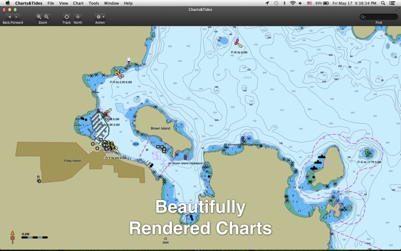

Description by Navimatics Corporation Written by the developer, not by AppBrain. Click to read.
Charts&Tides was designed with ease of use in mind. The interface is intuitive and tasks have been streamlined. Unlike other marine software, you no longer need to download, store and manage individual charts or load them into the software; we have done the legwork for you and compiled large area charts that combine information from multiple sources.
In more detail:
- Provides continuous and seamless large area charts derived from NOAA and CHS vector cartography.
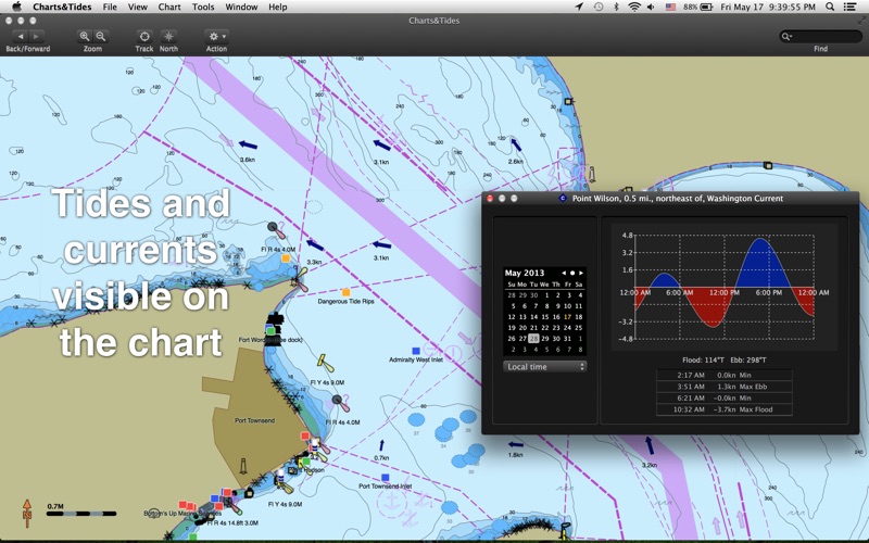
- Shows tide levels and current speeds on the chart using easily interpreted icons. Allows you to judge the water situation around you with a single glance.
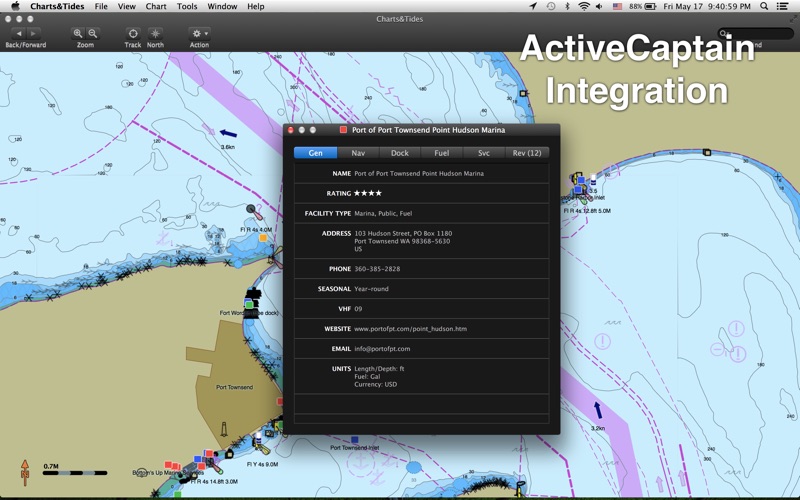
- Integrates with the ActiveCaptain interactive cruising guidebook providing you with access to thousands of marinas, anchorages, hazards and other local knowledge.
- Stores the entire ActiveCaptain database offline so that it is always available to you, even without an Internet connection.
- Allows you to instantly search thousands of chart features and the ActiveCaptain database.
- Supports waypoints, routes, tracks and allows you to import and export them in GPX format.
- Supports GPS devices that transmit in the NMEA 0183 or GPSD format. Route navigation with automatic waypoint sequencing is supported.
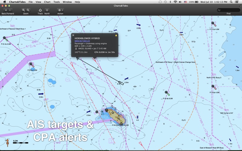
- Supports AIS devices and Closest Point of Approach (CPA) computations and alerts, including spoken alerts. Set the CPA and TCPA and hear the computer speak the alerts to you!
- Comes with a dark UI that looks good during the day and will preserve your night vision when it is dark.
The software comes with a world base map, but does not come prepackaged with any detailed marine charts. You can purchase detailed marine charts from within the application. You can also use the software without purchasing additional charts.
Safety and technology
Found in the app by AppBrain- Price
- Free
- App size
- 29.1 MB
- Content rating
- Everyone
Technologies used by Charts & Tides
Releases
Updates seen on the App Store- Version
- 1.3.15159
- Launched
- May 2013
No changelog data
Alternatives
Similar apps and more from Navimatics CorporationMore from Navimatics Corporation


Rankings
App Store top chartsApp Store Rankings for Charts & Tides
About the app and developer
About Charts & Tides
Charts & Tides is a travel app developed by Navimatics Corporation.
What is the rating of Charts & Tides?
Charts & Tides has no ratings yet.
Is Charts & Tides free?
Charts & Tides is free. The app size is 29.12 MB. The latest version available is 1.3.15159. The last update was on June 12, 2015.
What are the requirements for Charts & Tides?
The app has a content rating of Everyone. The app has been available on the App Store since May 2013.
Developer information for Navimatics Corporation
Address:
Frequently asked questions about Charts & Tides
Is Charts & Tides free?
Yes. Charts & Tides is free on the App Store.
Is Charts & Tides still available?
Yes. Charts & Tides is on the App Store, and the last update we saw was on June 12, 2015.
How large is Charts & Tides?
Charts & Tides is 29.12 MB.
Is Charts & Tides suitable for children?
App Store rates the content of Charts & Tides as suitable for everyone.
Who made Charts & Tides?
Charts & Tides was developed by Navimatics Corporation. It is listed in the travel category on the App Store.