Climb A Munro is a navigation app developed by Ross Geldart.
What is the rating of Climb A Munro?
Climb A Munro has no ratings yet.
Is Climb A Munro free?
Climb A Munro costs $6.99. The app size is 18.57 MB. The latest version available is 1.0.21. The last update was on October 29, 2026.
What are the requirements for Climb A Munro?
The app has a content rating of Everyone. The app has been available on the App Store since August 2026.
Climb A Munro is made and published by
Ross Geldart.
AppBrain is an independent app data site and isn't affiliated with Ross Geldart.
The app name, icon, screenshots and description belong to Ross Geldart and are shown as published on the App Store.
Description by Ross Geldart(from the App Store)
Pick your level and how far you'll drive. The app shows you the hills within reach that fit your level.
The app that gets you out the door on a Saturday.
Every Munro, Corbett, Graham, Wainwright and Hewitt in Britain and Ireland. 1,391 hills, honestly graded, on one terrain map. Beginner, Average, Difficult, Tough. If a hill is a scramble or a navigation day, we say so.
No listicles pretending every hill is amazing, no "moderately challenging" ambiguity, just an honest word about what the walk is actually like.
No adverts. No tracking. No account needed. Your walks stay on your phone. One price, no subscription.
It's for picking your hill and keeping your log. It's not a navigation app, so take a map and compass like you would anyway.
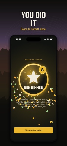
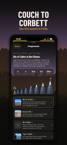
WHAT IT DOES - Find your next hill in a few taps. Pick beginner, building or bagging, choose a drive range, get the hills in reach. - Couch to Corbett. A guided path from your first hill up, with your progress saved. - Weekend Watch. Hills ranked by weather over the next 3 days. Pick a country, see your top 5. - Hill sheets. Grade, height, route facts, parking coordinates, and a 4-day forecast with the calmest day highlighted. - Take me there. One tap opens Maps with directions to the parking spot. - Track your walk. Private GPS trace, gold star for the summit, saves to your log. Or just walk it and save nothing. - Notes as you go. Boggy patch, fence to hop, brilliant view. Remember it for next time. - Already been up a few? Tick them off from memory. No dates required. Import a CSV if you keep a spreadsheet. - Every summit a gold star. Watch your map of Britain and Ireland fill up over the years. - Baggers. Add walking mates by handle, see each other's latest summit on the map. - Weather warnings. Opt-in, tuned for a Scottish hill: summit wind, cloud on the tops, freezing level, heavy rain in the next few hours. - Works offline once the map's loaded.
Your walks stay on your phone. No adverts. No telemetry. No third parties. Works without an account. Sign in only if you want cross-device sync or Baggers.
Hill list from the Database of British and Irish Hills, used under a Creative Commons Attribution licence.
Each subscription will automatically renew 3 days before the expiration date for
the same time period. Subscriptions can be cancelled at any time before the renewal.