GNSS Log App is an overall app developed by John May.
Download Statistics
User Ratings
GNSS Log App is rated 4.94 out of 5 stars. The rating is based on 16 ratings.
App Information
GNSS Log App is FREE to download. The APK download size is 203.79 MB. The latest version available is 2.0.3. The last update was on April 27, 2026.
Technical Requirements
The app has a content rating of Everyone. The app has been available on Google Play March 2022.
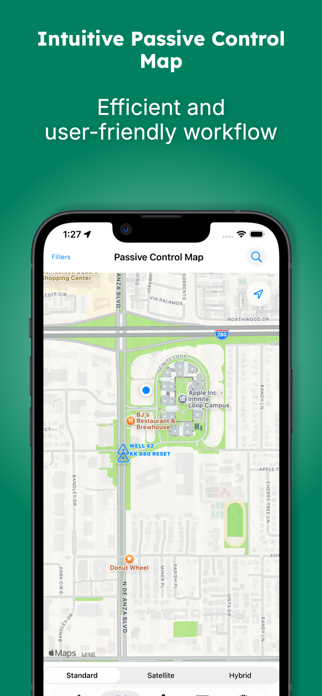
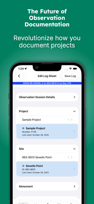
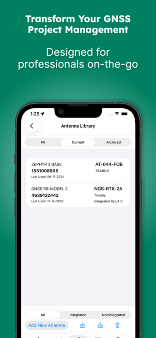
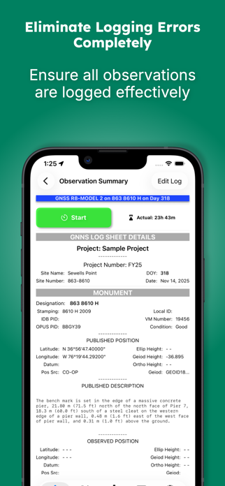
Description
GNSS Obs - Professional Observation Logs
GNSS Obs is the professional solution for documenting static GNSS observations. Designed for surveyors, geodesists, and geospatial professionals, it eliminates transcription errors and ensures consistent, accurate project documentation.
Replace Paper Logs with Digital Precision
Stop relying on paper forms, fillable PDFs, and handwritten notes. GNSS Obs provides a structured workflow that promotes accuracy and completeness while maintaining the professional standards required for geodetic control projects.
Comprehensive Equipment Management
Build and maintain your equipment library with support for: • Fixed height, collapsible and adjustable tripods • Antenna extensions • Integrated antenna/receiver configurations • Complete metadata for NGS compliance
Import and export library items to share standardized configurations across your organization.
Direct NGS Database Integration
Access public monument data directly from: • National Geodetic Survey Integrated Database (IDB) • OPUS Share Database • NOAA CO-OPS Stations
Monuments can also be entered manually when working with local control networks.
OPUS Solution Integration
Import OPUS solution emails to automatically populate: • Observed positions • Actual observation times • Session statistics • Solution quality metrics
Include the complete OPUS solution in your PDF output for comprehensive project records.
Essential Field Tools
• Session timers with local notifications • Automatic weather recording at session start and end • Photo documentation with NGS-compliant naming • Satellite visibility diagrams using device motion sensors • Real-time editing before, during, and after observations
Professional Documentation
Export publication-ready PDF observation logs featuring: • Your company logo and branding • Complete equipment configurations • Weather conditions • Site photographs • Visibility diagrams • OPUS solutions
Share via Files, email, AirDrop, or messaging.
Note: This app documents observations and does not communicate with GNSS receivers. It is designed as a field companion for recording session metadata and producing professional deliverables.
Privacy First
All data remains on your device. No account required. Full control over exports and backups.
Terms of Use (EULA): https://www.apple.com/legal/internet-services/itunes/dev/stdeula/
Each subscription will automatically renew 3 days before the expiration date for
the same time period. Subscriptions can be cancelled at any time before the renewal.