Memory-Map is an overall app developed by Memory-Map.
How many times has Memory-Map been downloaded?
What is the rating of Memory-Map?
Memory-Map is rated 4.50 out of 5 stars, based on 52 ratings.
Is Memory-Map free?
Memory-Map is free to download. The APK download size is 4.70 MB. The latest version available is 2.4.0. The last update was on September 9, 2021.
What are the requirements for Memory-Map?
The app has a content rating of Everyone. The app has been available on Google Play February 2010.
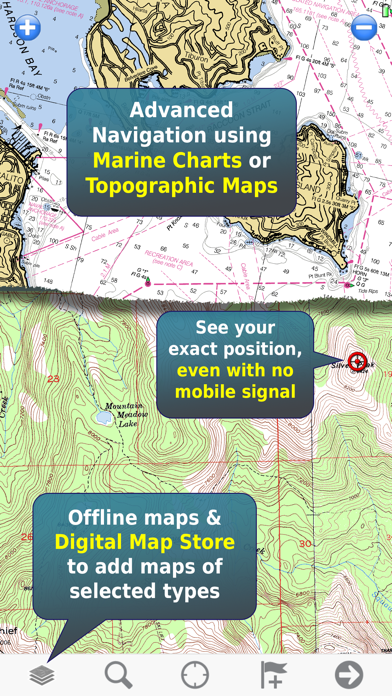
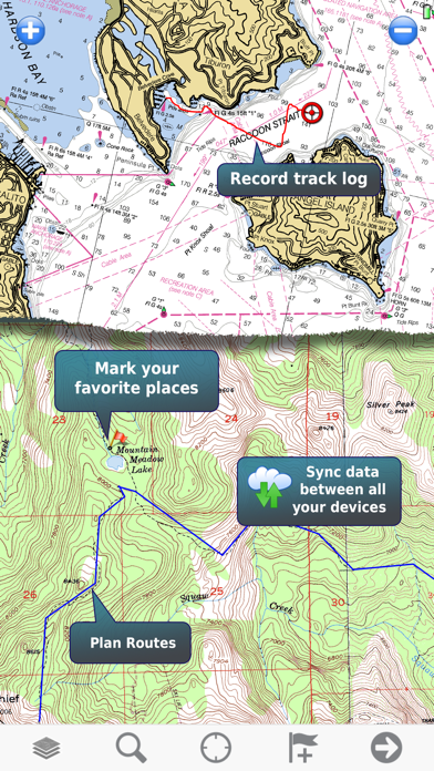
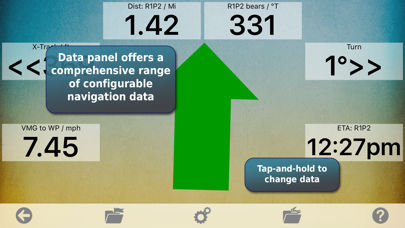
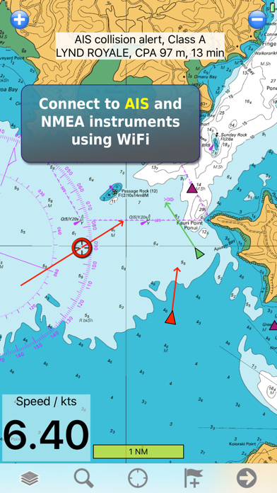
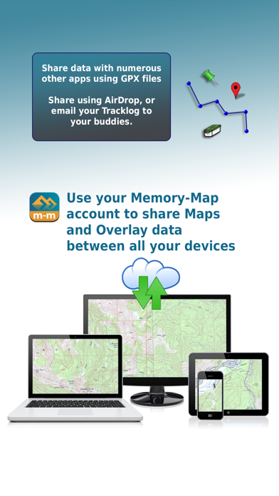
Description
Turn your iPhone or iPad into an outdoor GPS or marine chart plotter, with the detailed Topo maps or NOAA marine charts needed for your activity. Maps are stored on the device for offline use, when you don't have any network connection. The GPS will show your location even where you have no mobile phone signal.
The app can be used standalone, but the maps and overlay data may also be used on your home PC or Mac for planning, and for printing maps on paper. Then upload everything to your phone or tablet and enjoy navigating outdoors with high quality maps.
When you get home you can transfer your tracklog and points of interest back onto your computer, to see where you actually went, analyze your speed and elevation profile, and so on.
Whether you are fishing, paddling, backpacking, mountain biking or sailing, enjoy your time in the wilderness with Memory-Map. We have been developing mobile navigation apps since year 2000, and our products are trusted by mountain rescue teams, police and coast guard stations around the world.
Features: + Fast scrolling and zooming + Import and export GPX files + Screen lock to prevent accidental screen touches while recording a track + Shows speed and direction of travel, even while walking slowly + Support for GPS and Compass sensors, where available. + Placename index, works offline + Moving map, lock GPS position and automatically scroll the map + Records tracklogs with app running in the background + Create and edit marks, which may be linked to a web URL + Plan routes, measure distance and bearings + Routes snap to roads or trails, optimized for walking, cycling, or driving + Shows Altitude + Lat/Long, UTM, British National Grid and MGRS coordinate systems + Share position marks or tracklogs with other apps using GPX files + Connect to NMEA instruments and AIS via a WiFi gateway + AIS collision alarms, Anchor alarms and proximity alarms use notifications.
Battery Use Disclaimer: "Continued use of GPS running in the background can dramatically decrease battery life."
Each subscription will automatically renew 3 days before the expiration date for
the same time period. Subscriptions can be cancelled at any time before the renewal.