

OHV Trail Map California
OHV Trail Map California is made and published by Friends of Jawbone. AppBrain is an independent app data site and isn't affiliated with Friends of Jawbone. The app name, icon, screenshots and description belong to Friends of Jawbone and are shown as published on the App Store.
AppBrain's verdict
Established- Rating on App Store
- 2.80
- 35 ratings
- Last updated
- March 3, 2020
It doesn't have enough ratings yet to judge what users think.
Rankings
App Store top chartsApp Store Rankings for OHV Trail Map California
Competitors
Similar apps and more from Friends of JawboneAlternatives to OHV Trail Map California


More from Friends of Jawbone

Releases
Updates seen on the App Store- Version
- 6.0
- Launched
- December 2018
No changelog data
User feedback
Ratings and reviews on the App StoreComments on OHV Trail Map California for iOS
We don't have enough comments to show example comments. Please check back later.
Technology
Found in the app by AppBrain- Price
- Free
- App size
- 44.9 MB
- Content rating
- Everyone
Technologies used by OHV Trail Map California
About the app and developer
About OHV Trail Map California
OHV Trail Map California is a navigation app developed by Friends of Jawbone.
User Ratings
OHV Trail Map California is rated 2.80 out of 5 stars. The rating is based on 35 ratings.
App Information
OHV Trail Map California is freely available from the App Store. The app size is 44.86 MB. The latest version available is 6.0. The last update was on March 3, 2020.
Technical Requirements
The app has a content rating of Everyone. The app has been available on the App Store since December 2018.
Developer information for Friends of Jawbone
Address:
Store listing
By Friends of Jawbone, from the App Store


Description by Friends of Jawbone Written by the developer, not by AppBrain. Click to read.
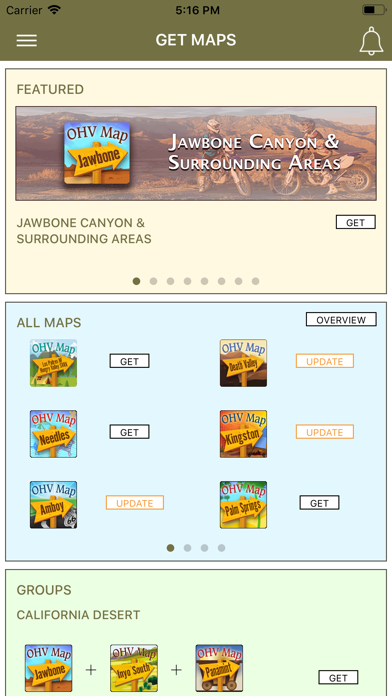
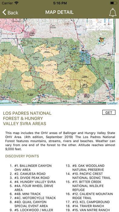
View the map in several zoom levels and navigate to popular destinations throughout California. The map covers 85 million acres of world-class OHV recreation lands from the sand dunes in the desert to the forests in the mountains, from the Colorado River to the Pacific Ocean. Depicted on the map are thousands of miles of legal, designated OHV roads and trails, as well as OHV Open Areas, wilderness areas, State Parks, military bases, and other public and private lands.
The map features backcountry motor vehicle routes designated by the BLM, USFS, NPS and other land management agencies.
Featured within the app are:
√ Street level background layer can be turned on or off
√ Zoom and scroll across the map
√ Find your location (iPhones and cellular iPads only)
√ Track your movement across the map (iPhones and cellular iPads only)
√ Find and navigate to hundreds of back country destinations and points of interests
√ Obtain emergency and other contacts
√ Find local services such as fuel, lodging and food
√ Learn area OHV rules, regulations, and safety tips
√ Legend of symbols on the map