

Paris Offline is made and published by Joerg Holz. AppBrain is an independent app data site and isn't affiliated with Joerg Holz. The app name, icon, screenshots and description belong to Joerg Holz and are shown as published on the App Store.
AppBrain's verdict
- Last updated
- March 18, 2024
Rankings
App Store top chartsApp Store Rankings for Paris Offline
This app is not ranked
Competitors
Similar apps and more from Joerg HolzAlternatives to Paris Offline






More from Joerg Holz








Releases
Updates seen on the App Store- Version
- 3.2.1
- Launched
- June 2019
No changelog data
User feedback
Ratings and reviews on the App StoreComments on Paris Offline for iOS
We don't have enough comments to show example comments. Please check back later.
Technology
Found in the app by AppBrain- Price
- $3.99
- App size
- 166.9 MB
- Content rating
- Everyone
Technologies used by Paris Offline
About the app and developer
About Paris Offline
Paris Offline is a travel app developed by Joerg Holz.
User Ratings
The app has no ratings yet.
App Information
Paris Offline costs $3.99. The app size is 166.91 MB. The latest version available is 3.2.1. The last update was on March 18, 2024.
Technical Requirements
The app has a content rating of Everyone. The app has been available on the App Store since June 2019.
Developer information for Joerg Holz
Address:
Store listing
By Joerg Holz, from the App Store





Screenshots by Joerg Holz, from the the App Store listing
Description by Joerg Holz Written by the developer, not by AppBrain. Click to read.
Customisable offline map from Openstreetmap with contour lines in which even the smallest paths and trails are shown.
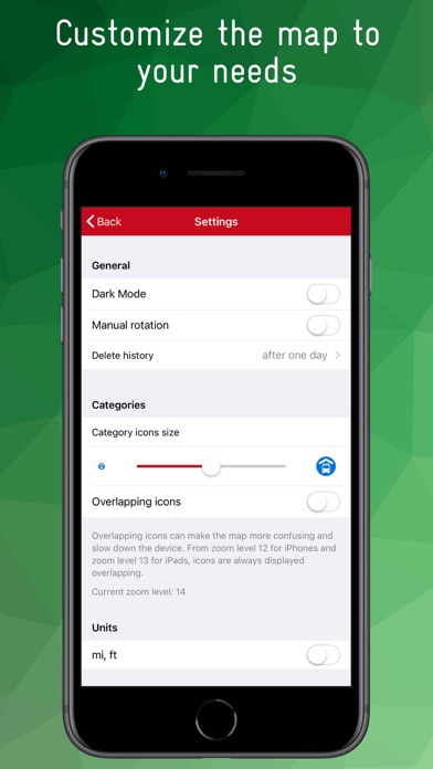
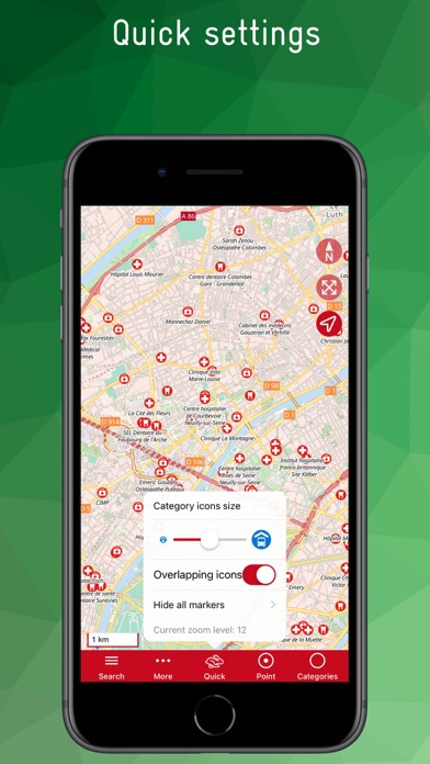
POIs are grouped into categories and can be displayed as layers. For example, you can display all restaurants, public transport lines, banks, hiking trails, charging stations and doctors on the map. The size and overlap of the icons can be adjusted to improve clarity.
An integrated database allows you to search for POIs as well as a large number of streets, towns, villages, districts, etc. The search can be filtered by category and/or distance.
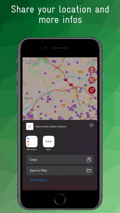
For many POIs there is further information such as opening hours, address, disabled access, ... Notes or favourites can be created for each POI, a history list shows the most recently used POIs, content can be shared.
A location function shows the current position, the app is ad-free and there is no tracking.