

RiscBal-App
RiscBal-App is made and published by Fundacio Universitat-Empresa de les Illes Balears. AppBrain is an independent app data site and isn't affiliated with Fundacio Universitat-Empresa de les Illes Balears. The app name, icon, screenshots and description belong to Fundacio Universitat-Empresa de les Illes Balears and are shown as published on the App Store.
AppBrain's verdict
- Last updated
- October 2, 2026
Rankings
App Store top chartsApp Store Rankings for RiscBal-App
Competitors
Similar apps and more from Fundacio Universitat-Empresa de les Illes Balears



Also available on Google Play

Releases
Updates seen on the App Store- Version
- 1.8.6
- Launched
- August 2024
No changelog data
User feedback
Ratings and reviews on the App StoreComments on RiscBal-App for iOS
We don't have enough comments to show example comments. Please check back later.
Technology
Found in the app by AppBrain- Price
- Free
- App size
- 55.3 MB
- Content rating
- Everyone
Technologies used by RiscBal-App
About the app and developer
About RiscBal-App
RiscBal-App is a weather app developed by Fundacio Universitat-Empresa de les Illes Balears.
User Ratings
The app has no ratings yet.
App Information
RiscBal-App is freely available from the App Store. The app size is 55.28 MB. The latest version available is 1.8.6. The last update was on October 2, 2026.
Technical Requirements
The app has a content rating of Everyone. The app has been available on the App Store since August 2024.
Developer information for Fundacio Universitat-Empresa de les Illes Balears
Store listing
By Fundacio Universitat-Empresa de les Illes Balears, from the App Store

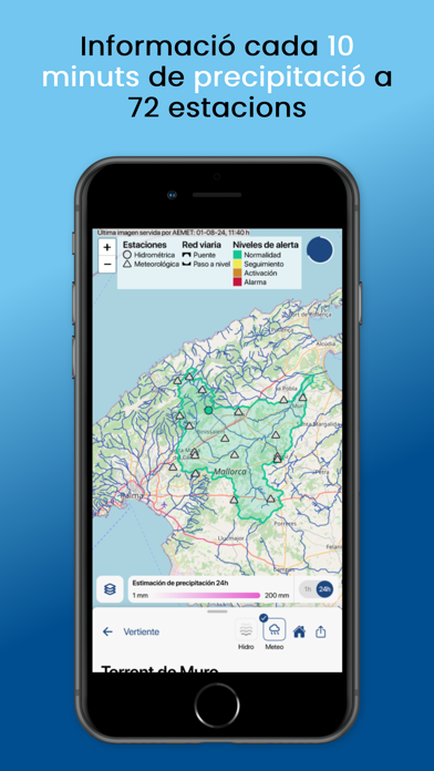
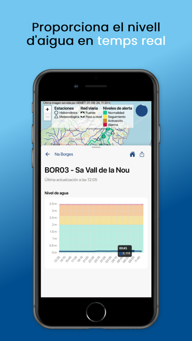


Description by Fundacio Universitat-Empresa de les Illes Balears Written by the developer, not by AppBrain. Click to read.
This RiscBal-App version is under testing phase; it mainly uses the RiscBal-Control environmental monitoring network. It currently provides information on rainfall, soil wetness, and air temperature every 10 minutes at stations RiscBal-Control stations and rainfall and air temperature every hour from 42 AEMET stations. It also provides information every 5 minutes on water level at 55 RiscBal-Control hydrometric stations located in rivers with a significant flood risk, as well as a 2-hour forecast at these same stations and dangerous places on the road network. Therefore, during risky events, yellow, orange or red alert warnings are issued.