Savinjska2Go is made and published by
Monolit.
AppBrain is an independent app data site and isn't affiliated with Monolit.
The app name, icon, screenshots and description belong to Monolit and are shown as
published on the App Store.
About Savinjska2Go
Savinjska2Go is a health & fitness app developed by Monolit.
What is the rating of Savinjska2Go?
Savinjska2Go has no ratings yet.
Is Savinjska2Go free?
Savinjska2Go is free. The app size is 133.14 MB. The latest version available is 1.4.3. The last update was on August 25, 2025.
What are the requirements for Savinjska2Go?
The app has a content rating of Everyone. The app has been available on the App Store since January 2022.
Description by Monolit(from the App Store)
Savinjska2Go is a cycling guide in the Savinjska-Šaleška region. The Savinjska - Šaleška region is part of the Savinjska statistical region and covers the area of ten municipalities: Solčava, Luče, Ljubno, Gornji Grad, Rečica ob Savinji, Mozirje, Nazarje, Šmartno ob Paki, Šoštanj and the Municipality of Velenje.
It is intended for everyone who likes to discover new tourist places and sights on two wheels. The application contains information about 85 cycling routes and over 200 different interesting locations such as: - Cultural Heritage - Natural attractions - Tourists offer - Guesthouses and accommodation - Tourist information centres - E-chargers
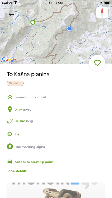
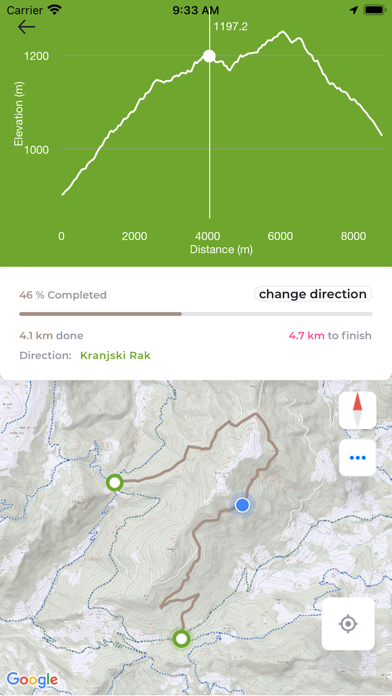
Cycling routes are shown with detailed information such as: route length, duration, difficulty, route description, picture of markings, if available, altitude data - including altitude profile and interesting locations along the route. For each route, we can check whether it is family-friendly, how much of the route runs through the forest, we can check whether the route runs on main or side roads.
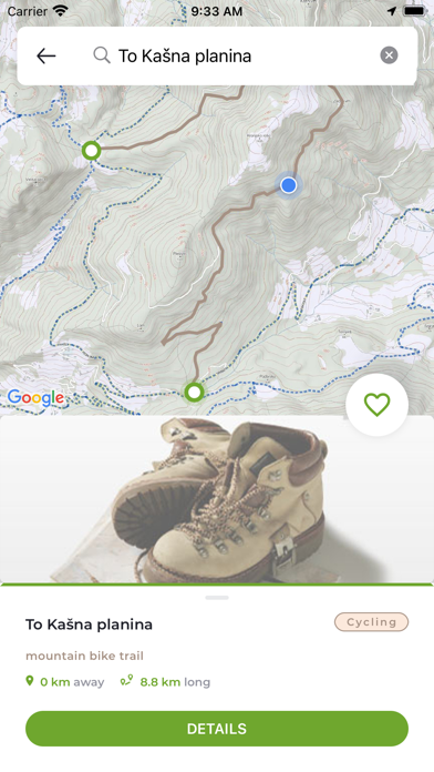
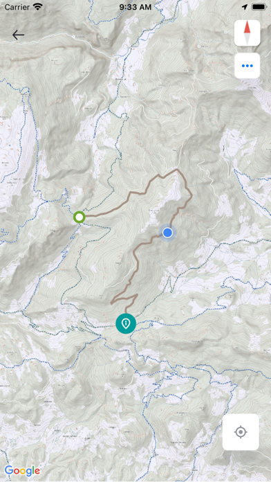
Routes can be viewed on a detailed topographic map (Monolith cartography, which is used in many GPS navigation devices and software). Data about an individual route, together with the map, can be stored in the internal memory of the mobile device. Thus, maps can be used when a suitable network connection is not available.
- The map shows the current GPS location and point of view (optional)
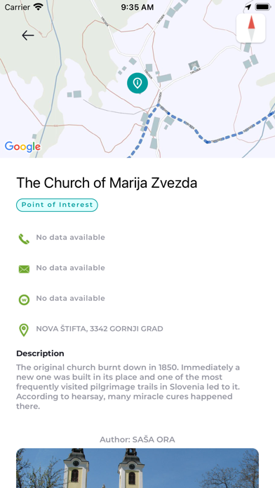
Attractions along the way are shown (points of interest), eg: natural sights, tourist attractions, inns, mountain huts, etc. along with descriptions and photos of points of interest. - It is possible to monitor the position on the route and the current distance to the destination. - It is possible to search the database of points of interest.
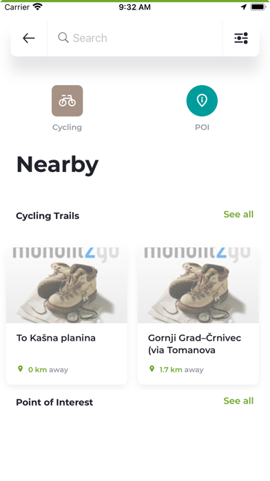
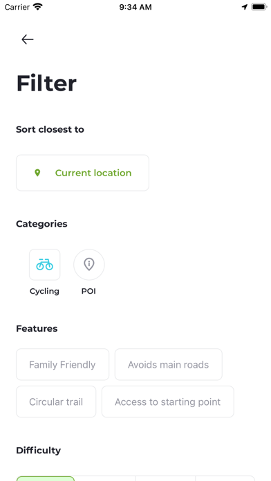
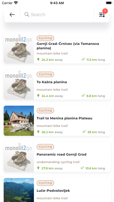
The pre-set application always shows the routes that are in the immediate vicinity (depending on the current GPS location) and allows easy search between routes. You can find routes in a certain area or in the vicinity of any place or address. You can also filter routes by route complexity, time or. path length. We can look for family-friendly paths, circular paths, side roads.
The route base is regularly upgraded.
The application is currently available in Slovene, English, German, Croatian, and Italian language.
Each subscription will automatically renew 3 days before the expiration date for
the same time period. Subscriptions can be cancelled at any time before the renewal.