

Syvänne is made and published by Fioni. AppBrain is an independent app data site and isn't affiliated with Fioni. The app name, icon, screenshots and description belong to Fioni and are shown as published on the App Store.
AppBrain's verdict
- Best rank
- #20
- Top Grossing, Finland
- Last updated
- June 21, 2022
Rankings
App Store top charts- Highest rank
- #20
- Chart
- Top Grossing
- Navigation
- Country
- Finland
App Store Rankings for Syvänne
Top rankings
| Rank | Country | Category | List |
|---|---|---|---|
| 20 | Finland | Navigation | Top Grossing |
Ranking history in Finland
Competitors
Similar apps and more from FioniAlternatives to Syvänne


More from Fioni


Releases
Updates seen on the App Store- Version
- 1.3
- Launched
- February 2022
No changelog data
User feedback
Ratings and reviews on the App StoreComments on Syvänne for iOS
We don't have enough comments to show example comments. Please check back later.
Technology
Found in the app by AppBrain- Price
- Free
- App size
- 22.1 MB
- Content rating
- Everyone
Technologies used by Syvänne
About the app and developer
About Syvänne
Syvänne is a navigation app developed by Fioni.
User Ratings
The app has no ratings yet.
App Information
Syvänne is freely available from the App Store. The app size is 22.09 MB. The latest version available is 1.3. The last update was on June 21, 2022.
Technical Requirements
The app has a content rating of Everyone. The app has been available on the App Store since February 2022.
Developer information for Fioni
Address:
Store listing
By Fioni, from the App Store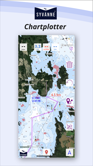
Screenshots by Fioni, from the the App Store listing
Description by Fioni Written by the developer, not by AppBrain. Click to read.
You can use the Syvänne chartplotter to navigate to the best fishing spots.
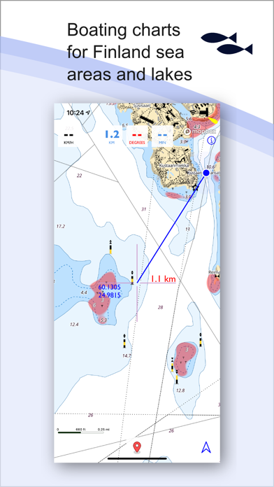
The maps contain map data from the Finnish Transport Agency and the National Land Survey of Finland for Finnish sea areas and lakes.
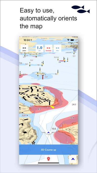
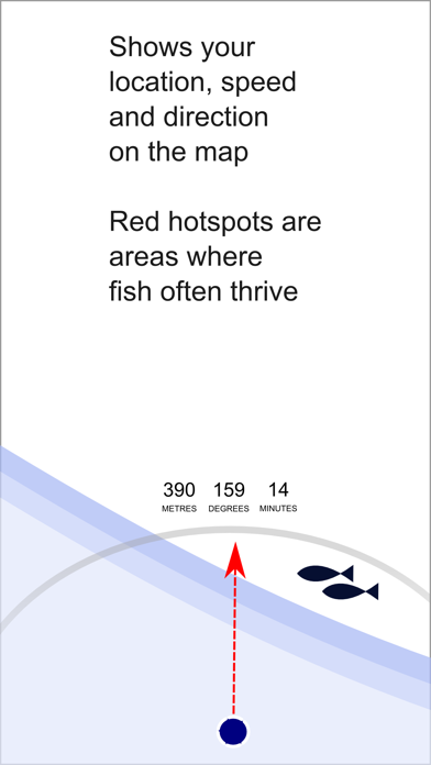
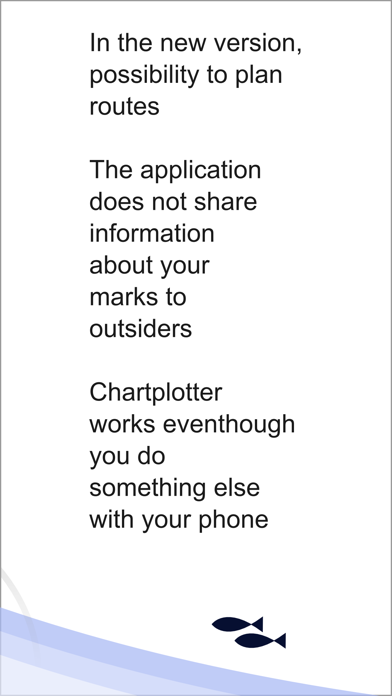
The app is easy to use on boats. It shows your location on the map and as you move, speed and direction. You can also see your travel time. As a new feature, you can now also plan a route on the map.
You will find the basin edges in your water area in the red hotspots marked on the map, where predatory fish often thrive. Hotspots are made by analyzing base shapes. See if you can find potential fishing spots in your nearby waters!
Leaving markers on the map and measuring distances is easy in the app.
The app will not share information about the marks you leave on the map with outsiders.
The Syvänne chartplotter works even if you do something else with your phone while boating, like browsing the web.
With the Syvänne chartplotter, you turn your Apple device into a navigation tool.
Please always remember to keep official Traficom paper maps with you as the primary navigation tool on the water. The Syvänne chartplotter should not be used as the primary means of navigation. Please remember to always navigate safely on the waters.
You can download the Syvänne chartplotter to your phone for free and try it out. The app tells you how long your free trial is. At the end of the free trial period, you will need to place an order.
The maps contain map data from the Finnish Transport Agency and the National Land Survey of Finland for Finnish sea areas and lakes.
The app is easy to use on boats. It shows your location on the map and as you move, speed and direction. You can also see your travel time. As a new feature, you can now also plan a route on the map.
You will find the basin edges in your water area in the red hotspots marked on the map, where predatory fish often thrive. Hotspots are made by analyzing base shapes. See if you can find potential fishing spots in your nearby waters!
Leaving markers on the map and measuring distances is easy in the app.
The app will not share information about the marks you leave on the map with outsiders.
The Syvänne chartplotter works even if you do something else with your phone while boating, like browsing the web.
With the Syvänne chartplotter, you turn your Apple device into a navigation tool.
Please always remember to keep official Traficom paper maps with you as the primary navigation tool on the water. The Syvänne chartplotter should not be used as the primary means of navigation. Please remember to always navigate safely on the waters.
You can download the Syvänne chartplotter to your phone for free and try it out. The app tells you how long your free trial is. At the end of the free trial period, you will need to place an order.