

Terrain Radar Altimeter
Users love it: 4.7 stars from 782 ratings.
Terrain Radar Altimeter is made and published by Nestele Engineering. AppBrain is an independent app data site and isn't affiliated with Nestele Engineering. The app name, icon, screenshots and description belong to Nestele Engineering and are shown as published on the App Store.
About Terrain Radar Altimeter
Terrain Radar Altimeter is a navigation app developed by Nestele Engineering.
User Ratings
Terrain Radar Altimeter is rated 4.68 out of 5 stars. The rating is based on 780 ratings.
App Information
Terrain Radar Altimeter is freely available from the App Store. The app size is 21.00 MB. The latest version available is 2.8.0. The last update was on January 8, 2024.
Technical Requirements
The app has a content rating of Everyone. The app has been available on the App Store since November 2012.
Screenshots
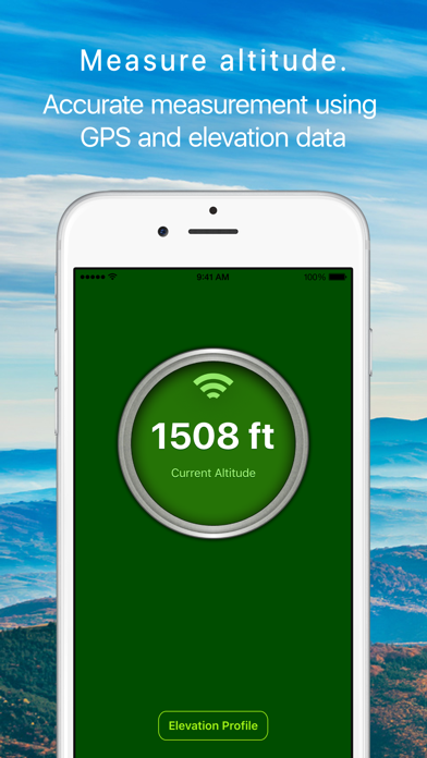

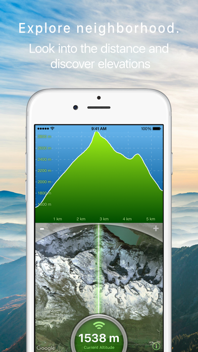
Alternatives to Terrain Radar Altimeter



Changelog of Terrain Radar Altimeter
No changelog data
Developer information for Nestele Engineering
Address:
Comments on Terrain Radar Altimeter for iOS
We don't have enough comments to show example comments. Please check back later.