

Topo Bleau is made and published by Romain Dupont. AppBrain is an independent app data site and isn't affiliated with Romain Dupont. The app name, icon, screenshots and description belong to Romain Dupont and are shown as published on the App Store.
AppBrain's verdict
- Last updated
- October 14, 2026
Rankings
App Store top chartsApp Store Rankings for Topo Bleau
Competitors
Similar apps and more from Romain DupontAlternatives to Topo Bleau







More from Romain Dupont


Releases
Updates seen on the App Store- Version
- 13
- Launched
- August 2019
No changelog data
User feedback
Ratings and reviews on the App StoreComments on Topo Bleau for iOS
We don't have enough comments to show example comments. Please check back later.
Technology
Found in the app by AppBrain- Price
- Free
- App size
- 426.8 MB
- Content rating
- Everyone
Technologies used by Topo Bleau
About the app and developer
About Topo Bleau
Topo Bleau is a sports app developed by Romain Dupont.
User Ratings
The app has no ratings yet.
App Information
Topo Bleau is freely available from the App Store. The app size is 426.84 MB. The latest version available is 13. The last update was on October 14, 2026.
Technical Requirements
The app has a content rating of Everyone. The app has been available on the App Store since August 2019.
Developer information for Romain Dupont
Address:
Frequently asked questions about Topo Bleau
Is Topo Bleau free?
Yes. Topo Bleau is free on the App Store.
Is Topo Bleau still available?
Yes. Topo Bleau is on the App Store, and the last update we saw was on October 14, 2026.
How large is Topo Bleau?
Topo Bleau is 426.84 MB.
Is Topo Bleau suitable for children?
App Store rates the content of Topo Bleau as suitable for everyone.
Who made Topo Bleau?
Topo Bleau was developed by Romain Dupont. It is listed in the sports category on the App Store.
What are the best alternatives to Topo Bleau?
People looking at Topo Bleau also look at these sports apps: Boolder, Besançon Grandes Heures Nature, Not a Topo, SmartBoard Escalade, Grimper.
Store listing
By Romain Dupont, from the App Store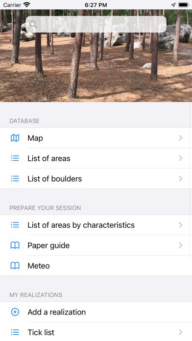
Description by Romain Dupont Written by the developer, not by AppBrain. Click to read.
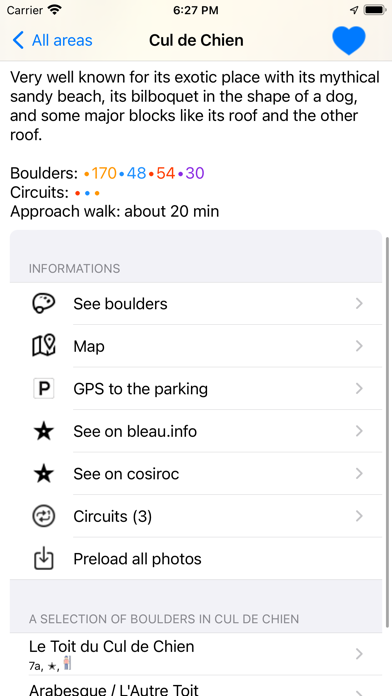
Thanks to Topo Bleau, organise your climbing session: find the area that suits everyone (by type of boulder, by sector, depending on whether you are on foot, by train or by vehicle, between adults or with children...). Each area is accompanied by a detailed description to make the best choice everyday you want to climb.
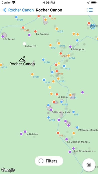
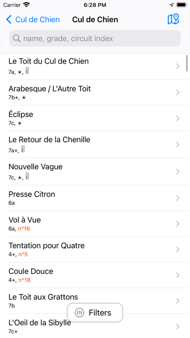
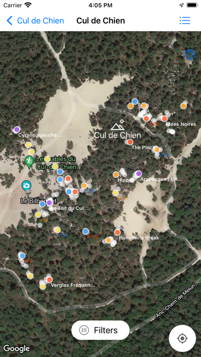
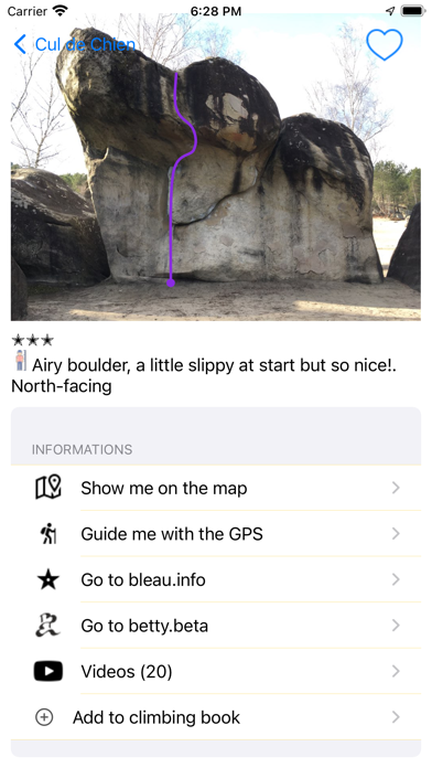
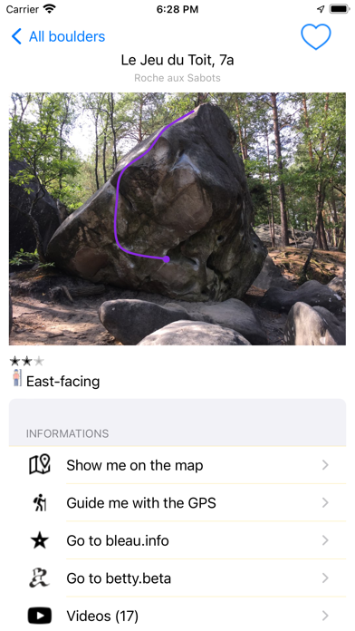
Topo Bleau also offers you access to nearly 30,000 boulders, including more than 4,600 geo-referenced boulders. Each one is accompanied by a photo that shows the existing openings (like our good old paper topo). Every month, new boulders are added. It's a real guide that will also tell you which are the major boulders of the forest, those that are feasible even if you are not tall, and for the hardest boulders, those that are oriented north (ideal in summer), south (ideal in winter) and even east/west (if you are more of a morning or afternoon person). Also if you only want to do slabs, overhangs or traverses, it is possible to filter. Also, for most boulders, direct links to online videos and circuits allow to save precious time in forest.
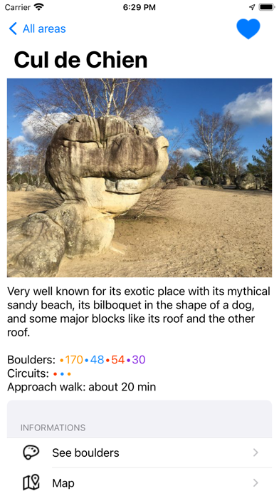
3 areas are freely provided with Topo Bleau:
Cul de Chien, Rocher Canon and Paris
The main extension includes georeferenced boulders in the following areas :
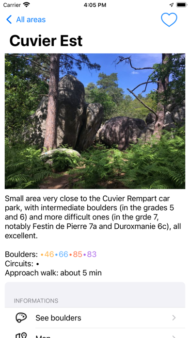
Bas Cuvier, Cuvier Nord/Ouest/Est, Cuvier Merveille
Bois Rond, Canche aux Merciers, L'Anarchodrome
Gorge aux Chats,
Franchard Isatis, Cuisinière, Sablons, Point de Vue, Ermitage et Druides
Rocher Fin,
Rocher Saint Germain,
Rocher du Potala
J.A. Martin,
La Troche and Le Toit d'Orsay,
Elephant, Maunoury, Petit Bois
Roche aux Sabots, Roche aux Oiseaux, La Ségognole
95.2,
Buthiers Piscine,
Rocher Brûlé
Le Calvaire, Roche d'Hercule, Rocher d'Avon
Apremont Ouest, Buttes aux Dames, Sanglier et Brûlis
Recloses, Rocher de Bouligny,
Les Béorlots,
Coquibus (Grandes Vallées, Montrouget et Arcades), Jean de Vigne, Rocher du Guetteur, Vallée Chaude, Rocher des Etroitures, Haut de Milly, Roche au Four, Mare à Piat
Salamandre Est.
Le Viaduc des Fauvettes.
And also, partially georeferenced:
Hautes Plaines
Cuvier Rempart,
Rocher de la Reine, Drei Zinnen,
Apremont,
Restant du Long Rocher, Vallée Casse-Pot, Le Troglodyte, les Mammouths, Pierre le Sault, Monts & Merveille.
The application integrates a climbing notebook, to keep track of all your achievements.
Also, all news and meetings from partners, associations, public local organism, ONF and so on, are available.
And last but not least, the application works fully offline (except the videos)