

TrailTool is made and published by Zhiguang Han. AppBrain is an independent app data site and isn't affiliated with Zhiguang Han. The app name, icon, screenshots and description belong to Zhiguang Han and are shown as published on the App Store.
AppBrain's verdict
- Last updated
- October 12, 2026
- Size
- 41.8 MB
User feedback
Ratings and reviews on the App StoreComments on TrailTool for iOS
We don't have enough comments to show example comments. Please check back later.
Store listing
By Zhiguang Han, from the App Store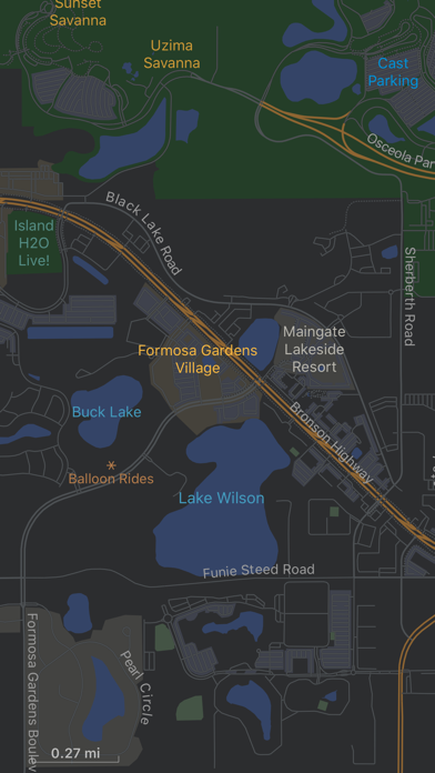


Screenshots by Zhiguang Han, from the the App Store listing
Description by Zhiguang Han Written by the developer, not by AppBrain. Click to read.
TrailTool supports creating map from within the app from publicly available OpenStreetMap data. So wherever you plan for your next adventure, your map can always be up to date. It does not require wireless connection to work in the field or outdoor.
It respects your privacy, any saved tracks or locations are always stored on device, no data is ever uploaded to the cloud. So your data is safe.
## Main Features
- Record GPS tracks or mark point of interest on screen for trip planning or actual location while in the field
- Create map dataset from OpenStreetMap data (PBF) directly. Support option to use native language (default) or English as place names or labels.
- Support data exchange format: PBF, GeoJSON/JSON and GPX
- Support data sharing via AirDrop or standard iOS share functionality for any data used within the app
For device without GPS (such as iPad without cellular service), the app can be used for trip planning to review map, existing tracks, point of interests etc. Maps, tracks or point of interests from one device can be shared with other devices via AirDrop.
## Map Data
The app comes with one sample map and one sample OpenStreetMap PBF file. For additional data, you can go to OpenStreetMap web site or within app, choose About -> Additional Data…
Hope you’ll find this app useful in your travel or hiking adventure!
Safety and technology
Found in the app by AppBrain- Price
- $2.99
- App size
- 41.8 MB
- Content rating
- Everyone
Technologies used by TrailTool
Releases
Updates seen on the App Store- Version
- 7.1
- Launched
- August 2019
No changelog data
Alternatives
Similar apps and more from Zhiguang HanAlternatives to TrailTool




More from Zhiguang Han


Rankings
App Store top chartsApp Store Rankings for TrailTool
This app is not ranked
About the app and developer
About TrailTool
TrailTool is a navigation app developed by Zhiguang Han.
User Ratings
The app has no ratings yet.
App Information
TrailTool costs $2.99. The app size is 41.79 MB. The latest version available is 7.1. The last update was on October 12, 2026.
Technical Requirements
The app has a content rating of Everyone. The app has been available on the App Store since August 2019.
Developer information for Zhiguang Han
Address: