GeoparkWay is made and published by
BrooksDesigns.
AppBrain is an independent app data site and isn't affiliated with BrooksDesigns.
The app name, icon, screenshots and description belong to BrooksDesigns and are shown as
published on the App Store.
About GeoparkWay
GeoparkWay is a travel app developed by BrooksDesigns.
User Ratings
The app has no ratings yet.
App Information
GeoparkWay is freely available from the App Store. The app size is 41.48 MB. The latest version available is 1.6. The last update was on September 22, 2024.
Technical Requirements
The app has a content rating of High Maturity. The app has been available on the App Store since June 2023.
Description by BrooksDesigns(from the App Store)
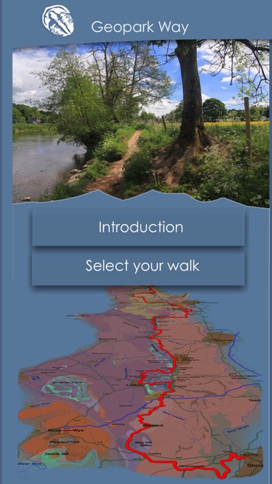
Walks are located in the Geopark based around the Abberley and Malvern Hills in the UK but extending into English counties of Shropshire, Worcestershire, Herefordshire and Gloucestershire. This also includes a long distance walk from Bridgnorth to Gloucester, known as the Geopark Way.
Download walks into the app as required, all content works offline. Walk may be deleted and re-downloaded as required.
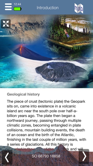
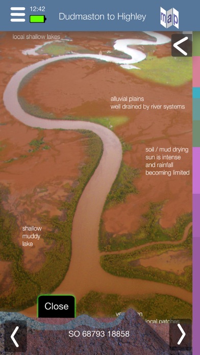
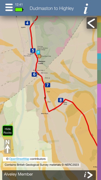
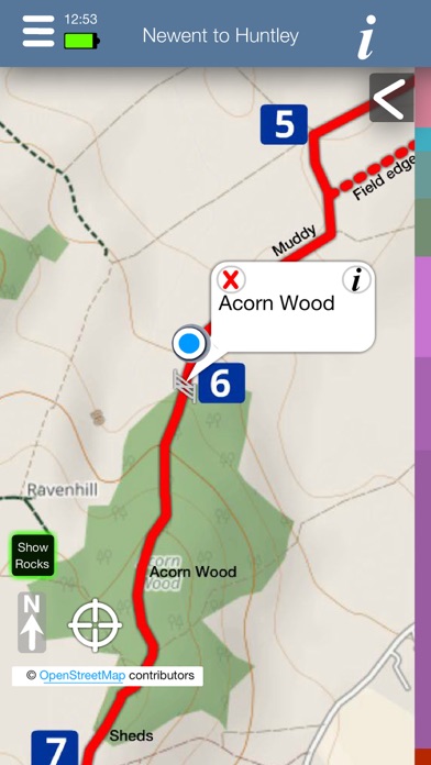
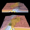
Each walk has a detailed map - down to individual stiles, gates, etc, plus places of interest and facilities along the way. Your current location is always shown, plus your current OS grid ref, latitude, longitude and altitude. Each walk has a detailed interactive geology map, with details of the rocks below you, their age and what the environment, fauna and flora was like when they formed.
Each walk is fully illustrated with photos showing the direction, e.g where paths diverge, plus you can judge in advance the nature of the ground you will be walking over, and with over 100 photos per walk, just do the walk virtually. In addition to the phots there are illustrations explaining the geology. The maps also include local industrial history - location of former railway tracks, canals, mines, etc. You can record your progress on the maps. A facility to easily report problems you find on any path is included.
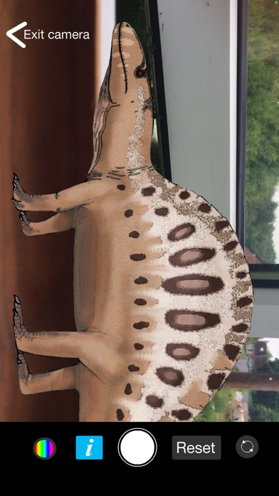
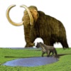
On some walks discover the locations of opportunities for selfies with some animal or plant life from the time of the rocks currently beneath you.
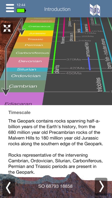
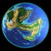
A timescale of the 4.6 billions years of the Earth’s history is aways available and animates to track the rocks currently below you. This includes information on the possible global conditions at the time - atmospheric levels of carbon dioxide and oxygen, mean global temperature, sea levels, extinction rate, along with significant events of the time e.g. ice ages, major basaltic eruptions, meteorite impacts, tectonic situation, etc.
Each subscription will automatically renew 3 days before the expiration date for
the same time period. Subscriptions can be cancelled at any time before the renewal.