



AppBrain's verdict
EstablishedLoved by users- Rating on App Store
- 4.81
- 192 ratings
- Last updated
- September 10, 2025
- Size
- 24.1 MB
Users love it: 4.8 stars from 192 ratings. Its best ranking is #80 in Top Free, Sports in Indonesia.
User feedback
Ratings and reviews on the App StoreComments on GPS Altimeter - Altitude & Map for iOS
We don't have enough comments to show example comments. Please check back later.
Store listing
By ExaMobile S.A., from the App StoreDescription by ExaMobile S.A. Written by the developer, not by AppBrain. Click to read.
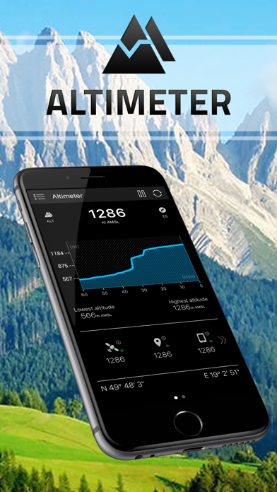
This altimeter app, to measure altitude uses:
- GPS satellites triangulation - works without internet connection,
- barometer pressure sensor (if available in your device) - high accurate data; if internet connection is available it calibrates itself to improve accuracy,
- online networks location services (wifi and other) - need internet connection.
You can use each sensor separate or all together.
App altitude meter includes the following features:
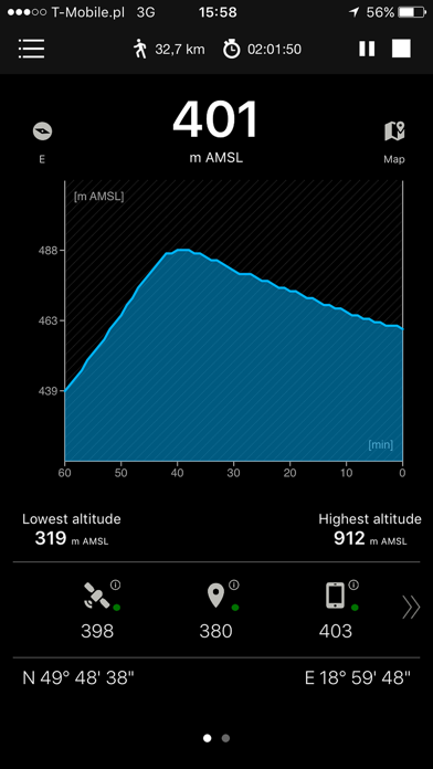
- accurate measurement of altitude - indication in meters or feet
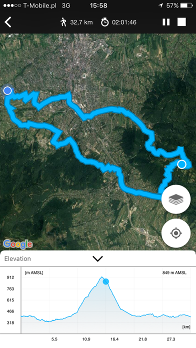
- recording sports activities with a map of the route traveled
- record of: lowest (low), highest (max) altitude
- smart mini compass
- full GPS coordinates - latitude and longitude
- current localization name and state
- results of measurements are shown in the chart
- ability to stop and record the results of measurements at any time
- invert background color (black and white)
- sharing with others your achievements (photo taking function with the current altitude above sea level)
You can activate in app the Premium version which includes:
- No ads in the entire application
- Activity stats (speed, calories, etc.)
- Checkpoints
- Analog drum-type aircraft altimeter
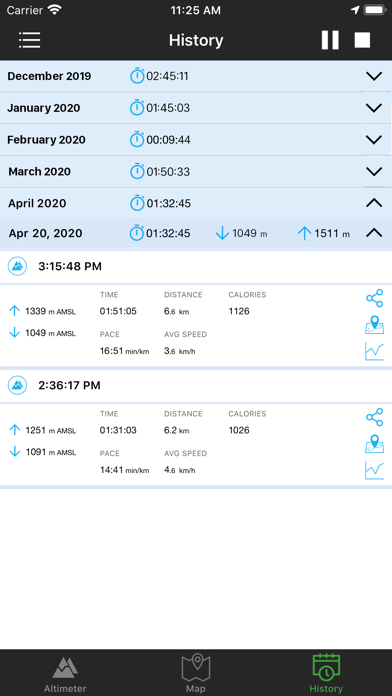
- Full history and archives of measurements
- Tracking map with altitude chart
- Sunrise and sunset times
- No watermark on the picture
- Copying and sharing coordinates and map link
Check altitude wherever you are!
Information:
This apps works in the background to proper operation uses GPS. Continued use of GPS running in the background can dramatically decrease battery life.
Enjoy with this altimeter app !
Safety and technology
Found in the app by AppBrain- Price
- Free
- App size
- 24.1 MB
- Content rating
- Everyone
Technologies used by GPS Altimeter - Altitude & Map
Releases
Updates seen on the App Store- Version
- 3.3
- Launched
- July 2016
No changelog data
Alternatives
Similar apps and more from ExaMobile S.A.Alternatives to GPS Altimeter - Altitude & Map


More from ExaMobile S.A.


Rankings
App Store top charts- Highest rank
- #80
- Chart
- Top Free
- Sports
- Country
- Indonesia
App Store Rankings for GPS Altimeter - Altitude & Map
Top rankings
| Rank | Country | Category | List |
|---|---|---|---|
| 80 | Indonesia | Sports | Top Free |
Ranking history in Indonesia
About the app and developer
About GPS Altimeter - Altitude & Map
GPS Altimeter - Altitude & Map is a sports app developed by ExaMobile S.A.
What is the rating of GPS Altimeter - Altitude & Map?
GPS Altimeter - Altitude & Map is rated 4.81 out of 5 stars, based on 190 ratings.
Is GPS Altimeter - Altitude & Map free?
GPS Altimeter - Altitude & Map is free. The app size is 24.09 MB. The latest version available is 3.3. The last update was on September 10, 2025.
What are the requirements for GPS Altimeter - Altitude & Map?
The app has a content rating of Everyone. The app has been available on the App Store since July 2016.
GPS Altimeter - Altitude & Map is made and published by ExaMobile S.A. AppBrain is an independent app data site and isn't affiliated with ExaMobile S.A. The app name, icon, screenshots and description belong to ExaMobile S.A. and are shown as published on the App Store.
Developer information for ExaMobile S.A.
Address:
Frequently asked questions about GPS Altimeter - Altitude & Map
Is GPS Altimeter - Altitude & Map free?
Yes. GPS Altimeter - Altitude & Map is free on the App Store.
Is GPS Altimeter - Altitude & Map still available?
Yes. GPS Altimeter - Altitude & Map is on the App Store, and the last update we saw was on September 10, 2025.
How large is GPS Altimeter - Altitude & Map?
GPS Altimeter - Altitude & Map is 24.09 MB.
Is GPS Altimeter - Altitude & Map suitable for children?
App Store rates the content of GPS Altimeter - Altitude & Map as suitable for everyone.
How do people rate GPS Altimeter - Altitude & Map?
GPS Altimeter - Altitude & Map scores 4.81 out of 5 stars, from 192 ratings on the App Store.
Who made GPS Altimeter - Altitude & Map?
GPS Altimeter - Altitude & Map was developed by ExaMobile S.A. It is listed in the sports category on the App Store.
What are the best alternatives to GPS Altimeter - Altitude & Map?
People looking at GPS Altimeter - Altitude & Map also look at these sports apps: Altimeter Offline, Relief Maps : backcountry gps, AR AlpineGuide, Giro d'Italia, La Vuelta presented by ŠKODA.