iFly EFB is made and published by
Adventure Pilot, LLC.
AppBrain is an independent app data site and isn't affiliated with Adventure Pilot, LLC.
The app name, icon, screenshots and description belong to Adventure Pilot, LLC and are shown as
published on the App Store.
About iFly EFB
iFly EFB is a navigation app developed by Adventure Pilot, LLC.
User Ratings
iFly EFB is rated 4.72 out of 5 stars. The rating is based on 360 ratings.
App Information
iFly EFB is freely available from the App Store. The app size is 107.21 MB. The latest version available is 14.1.38. The last update was on September 23, 2026.
Technical Requirements
The app has a content rating of Everyone. The app has been available on the App Store since October 2013.
Description by Adventure Pilot, LLC(from the App Store)
iFly EFB delivers the perfect combination of affordability, capability, and usability for both VFR and IFR Pilots. Safely and quickly get the information you need so you can focus on flying!
Key reasons to try iFly EFB:
1) Ease of use in the cockpit: Our intuitive and simple interface, easy to hit buttons, simple map gestures, large fonts, and more make this the best EFB for in-flight use
2) Pilot focused company: We have staff (pilots) on the ground at our office in Texas waiting to answer your questions. Call 214-585-0444 or email support@adventurepilot.com, we're here to help
3) Price: We are one of the most competitively priced EFBs on the market
4) Capabilities: We are one of the most capable EFBs on the market! Need proof? Visit www.iFlyEFB.com/Compare
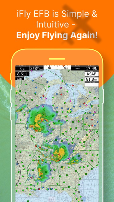
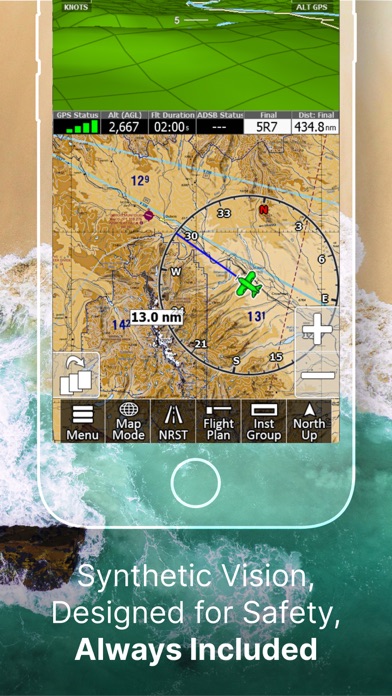
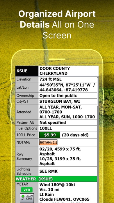
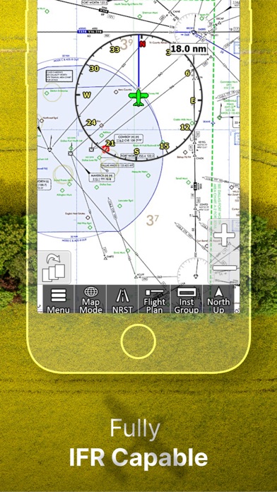
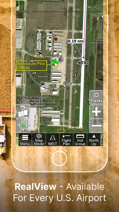
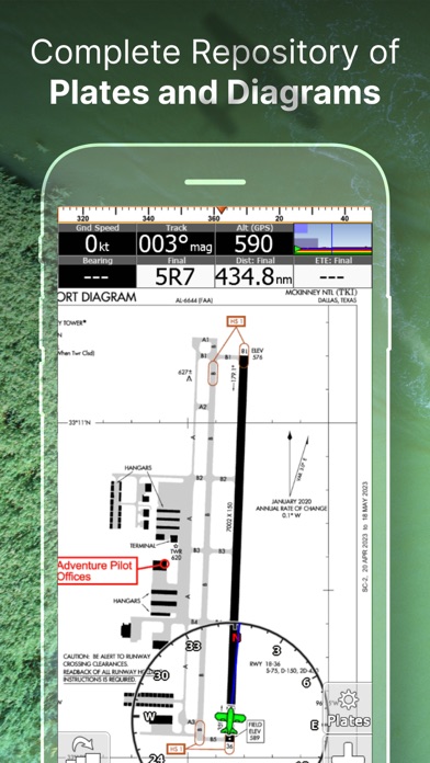
Following are some of our features and benefits: •Geo-Reference Approach Plates and Airport Diagrams •3D Synthetic Vision / EFIS Mode •Terrain, Obstructions, Traffic, and Airspaces Alerts •Complete ADSB support •AutoTaxi+ for safe taxing at any airport •RealView airport imagery •RealPlan automatic VFR Planner •Auto-load approach into plan •Complete VFR and IFR databases and charts (FAA) •Sectionals •Customizable Instruments •Public & Private Airports •Winds aloft including forecasts for 36 hours •Hi/Lo-Enroute Charts •Terminal Area Charts(TAC) •World Aeronautical Charts(WAC) •Vector Mode •Weather (Pre-Flight or ADS-B Live) •Hi-res Winds Aloft Optimizing •Rapid Flight planning •Plates & Diagrams (Approach, Departure Plates, Stars, SIDs Airport Diagrams) •Instruments Panel •Day/Night Mode •Online Flight Plan Filing •Custom Instrument Layouts (24 Instruments, e.g. HSI, Vertical Profile, and AHRS) •Vertical Terrain planning and Airspace preview •Find Nearest •History •North Up / Track Up •Pinch Zooming w/ One Touch Feature •Dynamic Distance Ring •Hybrid Compass Rose w/ Nav Function •Extended Course Line •Flight Trails •Past Flights •Rubber Band route modification •Custom Aircraft icons •AutoTaxi+ •Alerts & Warnings •Button Fading (maximizes screen space) •Custom User Waypoints •Customizable Instruments •Simulator Mode
Each subscription will automatically renew 3 days before the expiration date for
the same time period. Subscriptions can be cancelled at any time before the renewal.