It doesn't have enough ratings yet to judge what users think.
Japan Alps Hiking Map is made and published by
YAMARECO INC.
AppBrain is an independent app data site and isn't affiliated with YAMARECO INC.
The app name, icon, screenshots and description belong to YAMARECO INC. and are shown as
published on the App Store.
About Japan Alps Hiking Map
Japan Alps Hiking Map is a sports app developed by YAMARECO INC.
What is the rating of Japan Alps Hiking Map?
Japan Alps Hiking Map is rated 3.25 out of 5 stars, based on 4 ratings.
Is Japan Alps Hiking Map free?
Japan Alps Hiking Map is free. The app size is 29.95 MB. The latest version available is 1.11. The last update was on June 7, 2023.
What are the requirements for Japan Alps Hiking Map?
The app has a content rating of Everyone. The app has been available on the App Store since August 2017.
Description by YAMARECO INC.(from the App Store)
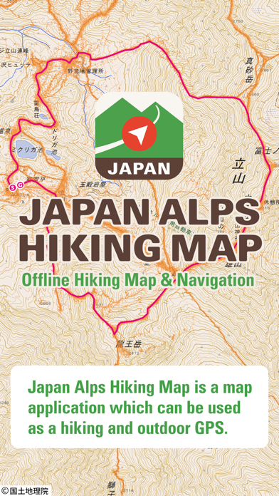
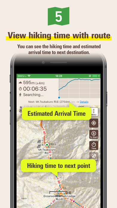
Japan Alps Hiking Map is a map application that can be used as a hiking / outdoor GPS. By downloading data such as maps, routes, and place names that you planned in advance, you can check your current location with GPS even if you are in a no cellular signal area like mountains.
You can use the app when you do walking, running, cycling, trip, sightseeing, or any outdoor activities in Japan.
You can also read articles about hiking know-how in Japan, and hiking guides about Mt. Fuji, Kamakura Alps, and Karasawa. We are still working to add new articles and hiking guides.
[Characteristics]
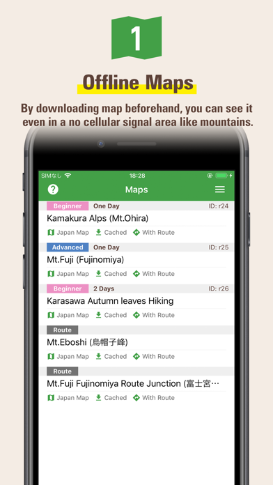
1) You can use the map offline
You can download and use the contour map of Japan which is offered by the Geospatial Information Authority of Japan.
In addition, "Footprints" which is the group of other hiker's GPS log will be displayed, so you can see at a glance where the people are actually walking (where the mountain path is).
Of course, since the place name data in English also will be downloaded, you can see the names of mountains and passes not on the contour map.
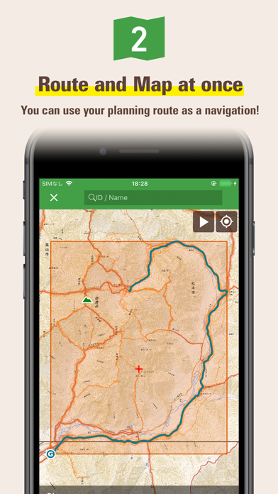
2) You can download route and map
You can download not only pre-prepared area maps but also our recommended routes and maps together.
You can also download routes and maps from a GPX file which you can get from any outdoor SNS like Yamareco.com.
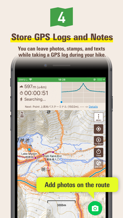
3) Store GPS logs while hiking
Once you start hiking, your phone will store the current location history as a GPS log. GPS feature is only required the sky is open, so you can get current locations even if your phone is in Airplane Mode or you are in out of a cellular signal area.
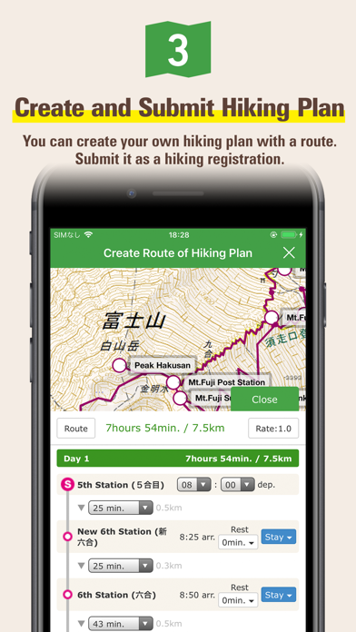
4) Your plan will be a hiking registration
You can submit your plan to Compass which is a hiking registration service in Japan. If you register your plan into Compass, the information will be shared with the police force which has rescue teams. Please refer to Compass homepage for details.
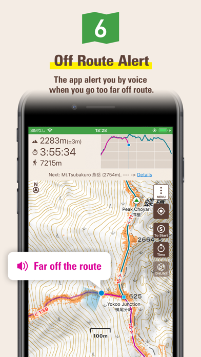
5) Off route alert
The app will let you know by voice when you go too far off the planned route. In addition, you can use a speech function that announces the current time and altitude periodically by voice.
[Important Notice]
Continued use of GPS running in the background can dramatically decrease battery life.
When hiking please be sure to bring a paper map and compass, spare battery and power cable.
You need to purchase a ticket to download maps for offline use. Even if you do not have a ticket, you can try all of the other functions such as GPS logging or online use.
"Footprints" function displays the actual walking traces for other hikers, but we cannot guarantees that the information is always accurate because it may include climbing routes, trails closed by the seasons, abolished roads etc.
When planning for mountain hiking, please be sure to check the latest information through other Web sites like Yamareco.com and local affiliates.
Place name data will be download after the installation. It may take around ten minutes to finish. You need to wait for download completion if you want to show all of the place name data in your map.
Each subscription will automatically renew 3 days before the expiration date for
the same time period. Subscriptions can be cancelled at any time before the renewal.