

KickTheMap is made and published by KickTheMap Sarl. AppBrain is an independent app data site and isn't affiliated with KickTheMap Sarl. The app name, icon, screenshots and description belong to KickTheMap Sarl and are shown as published on the App Store.
AppBrain's verdict
Established- Rating on App Store
- 4.25
- 4 ratings
- Last updated
- October 22, 2026
It doesn't have enough ratings yet to judge what users think.
Rankings
App Store top chartsApp Store Rankings for KickTheMap
Competitors
Similar apps and more from KickTheMap SarlAlternatives to KickTheMap








Releases
Updates seen on the App Store- Version
- 2.9.0
- Launched
- January 2020
No changelog data
User feedback
Ratings and reviews on the App StoreComments on KickTheMap for iOS
We don't have enough comments to show example comments. Please check back later.
Technology
Found in the app by AppBrain- Price
- Free
- App size
- 275.2 MB
- Content rating
- Everyone
Technologies used by KickTheMap
About the app and developer
About KickTheMap
KickTheMap is an utilities app developed by KickTheMap Sarl.
User Ratings
KickTheMap is rated 4.25 out of 5 stars. The rating is based on 4 ratings.
App Information
KickTheMap is freely available from the App Store. The app size is 275.17 MB. The latest version available is 2.9.0. The last update was on October 22, 2026.
Technical Requirements
The app has a content rating of Everyone. The app has been available on the App Store since January 2020.
Developer information for KickTheMap Sarl
Address:
Store listing
By KickTheMap Sarl, from the App Store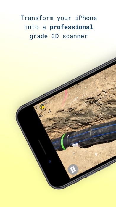

Description by KickTheMap Sarl Written by the developer, not by AppBrain. Click to read.
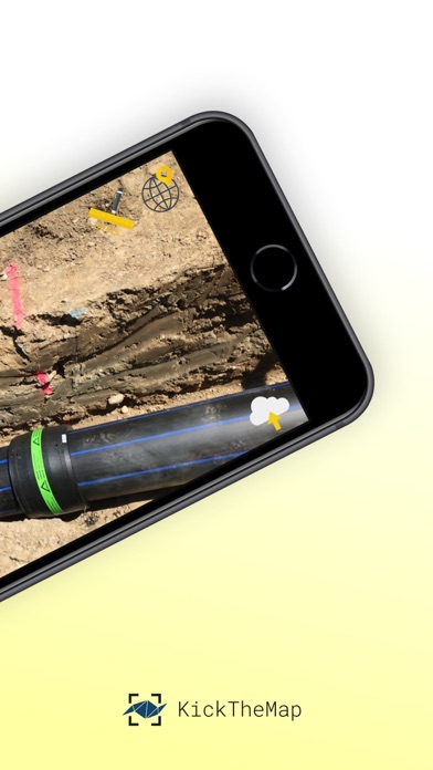
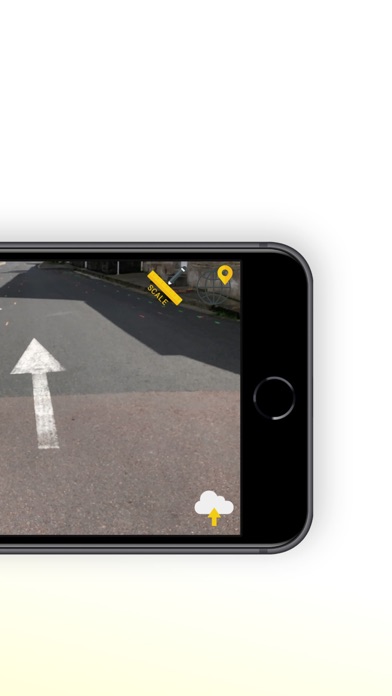
No prior knowledge required! Just walk around your site and the app works by itself, taking pictures all along the way thanks to an advanced Augmented Reality engine.
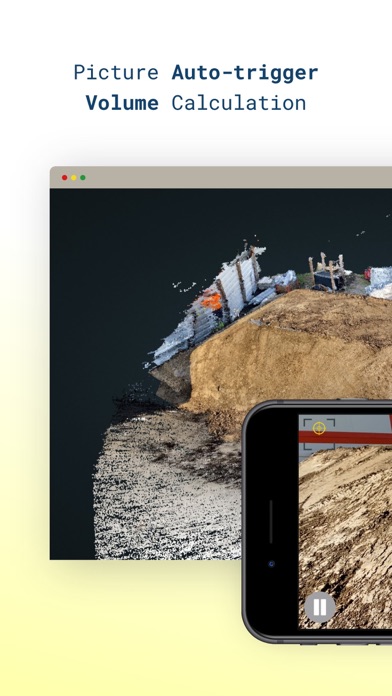
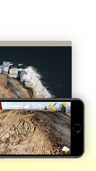
3D models are delivered within 24 hours on your personal desktop platform, allowing you to visualise, measure, digitise and export your data. Possibility to scale or georeference your model within the app with simple and intuitive features.
App Features:
- Picture auto-trigger based on user's motion
- 3D model delivered within 24h
- Up to 2000 pictures/job
- Lightweight pictures for fast upload
- Scale your model with a known distance
- Georeference your model with on known points
- Accuracy of 3 cm (1.2 in) in XYZ
- In-app warnings
- Unlimited number of jobs
- Output quality checks
- Offline mode in case of no internet coverage
- Pictures counter
Platform features:
- High-quality visualisation
- Fast rendering of millions of points
- Distance, height, area
- Easy digitisation with points and polylines
- Objects attributes to export
- Multiple point clouds display
- Export objects in DXF, CSV or JSON
- Export point clouds in LAS
Trial version is limited to 5 projects of 150 pictures max.