It doesn't have enough ratings yet to judge what users think.
My Altimeter GPS Altitude Map is made and published by
Savelii Stepura.
AppBrain is an independent app data site and isn't affiliated with Savelii Stepura.
The app name, icon, screenshots and description belong to Savelii Stepura and are shown as
published on the App Store.
About My Altimeter GPS Altitude Map
My Altimeter GPS Altitude Map is a navigation app developed by Savelii Stepura.
User Ratings
My Altimeter GPS Altitude Map is rated 5.00 out of 5 stars. The rating is based on 7 ratings.
App Information
My Altimeter GPS Altitude Map is freely available from the App Store. The app size is 61.26 MB. The latest version available is 1.0.3. The last update was on September 12, 2025.
Technical Requirements
The app has a content rating of Everyone. The app has been available on the App Store since December 2024.
Description by Savelii Stepura(from the App Store)
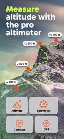
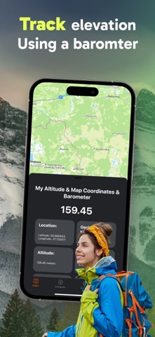
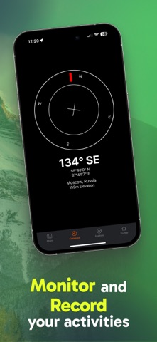
My Altitude leverages GPS technology to ascertain your precise geographical position, providing detailed information such as latitude, longitude, altitude (elevation above sea level), atmospheric pressure, and the boiling point of water at your current location.
This application is entirely free of charge and imposes no functional limitations. However, an optional in-app purchase is available to remove advertisements displayed at the bottom of the screen and to contribute to the ongoing development of the app.
The application operates seamlessly without requiring an internet connection, delivering optimal performance in outdoor environments.
By default, the app utilizes your device’s integrated sensors to measure elevation above sea level. Alternatively, you may opt to employ NOAA data files for altitude determination. On newer devices, relying on built-in sensors typically yields more precise results.
The app also enables you to capture a photograph of your current location and save it to your photo album. The image will be stamped with your coordinates, altitude, as well as the local date and time.
Atmospheric pressure is calculated based on elevation. For devices equipped with barometric sensors, such as the iPhone 6/6+, the pressure readings are directly obtained from the sensor. This behavior is fully customizable, allowing users to switch to a calculation-based approach if preferred.
Key Features: • Measurement of altitude above sea level in metric (meters) or imperial (feet) units, with an easy toggle between systems by tapping on the reported value. (Pro Subscription Required) • Precise latitude and longitude coordinates of your current location. (Pro Subscription Required) • Atmospheric pressure readings in various units, either derived from the device’s sensor or computed based on altitude. (Pro Subscription Required) • Boiling point of water tailored to your specific elevation. (Pro Subscription Required) • Current weather details, including temperature, conditions, humidity, wind speed, and wind direction. (Pro Subscription Required) • Worldwide altitude data: approximate elevation above sea level for any point on the globe. (Pro Subscription Required) • Ability to save altitude data for future reference. (Pro Subscription Required) • Capture and annotate photographs with elevation, coordinates, and timestamp for convenient sharing. (Pro Subscription Required)
Terms of Use: https://www.apple.com/legal/internet-services/itunes/dev/stdeula/ Privacy Policy: https://indigo-margin-aa0.notion.site/Privacy-Policy-My-Altitude-App-15c93ea9d684802d89b8f43f8f1d993e
Each subscription will automatically renew 3 days before the expiration date for
the same time period. Subscriptions can be cancelled at any time before the renewal.