

Scoplan Terrain is made and published by UBITIK. AppBrain is an independent app data site and isn't affiliated with UBITIK. The app name, icon, screenshots and description belong to UBITIK and are shown as published on the App Store.
AppBrain's verdict
- Last updated
- January 21, 2024
Rankings
App Store top chartsApp Store Rankings for Scoplan Terrain
This app is not ranked
Competitors
Similar apps and more from UBITIKAlternatives to Scoplan Terrain






More from UBITIK


Releases
Updates seen on the App Store- Version
- 1.2.0
- Launched
- February 2021
No changelog data
User feedback
Ratings and reviews on the App StoreComments on Scoplan Terrain for iOS
We don't have enough comments to show example comments. Please check back later.
Technology
Found in the app by AppBrain- Price
- Free
- App size
- 94.0 MB
- Content rating
- Everyone
Technologies used by Scoplan Terrain
About the app and developer
About Scoplan Terrain
Scoplan Terrain is a productivity app developed by UBITIK.
What is the rating of Scoplan Terrain?
Scoplan Terrain has no ratings yet.
Is Scoplan Terrain free?
Scoplan Terrain is free. The app size is 93.97 MB. The latest version available is 1.2.0. The last update was on January 21, 2024.
What are the requirements for Scoplan Terrain?
The app has a content rating of Everyone. The app has been available on the App Store since February 2021.
Developer information for UBITIK
Address:
Store listing
By UBITIK, from the App Store


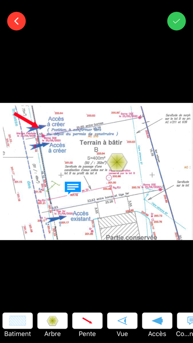
Screenshots by UBITIK, from the the App Store listing
Description by UBITIK Written by the developer, not by AppBrain. Click to read.
Avec cette application, le conducteur de chantier ou le commercial gagne énormément de temps lors de la qualification du terrain avant la construction d'une maison.
SCOPLAN TERRAIN est synchronisé avec GÉORISQUES. Ainsi les données liées aux risques de sismicité, d'argiles, d'inondation ect.. sont automatiquement collectées.
Les données sont entièrement personnalisables garantissant une facilité de traitement tout en évitant les risques d'erreurs.
SCOPLAN TERRAIN est synchronisé avec GÉORISQUES. Ainsi les données liées aux risques de sismicité, d'argiles, d'inondation ect.. sont automatiquement collectées.
Les données sont entièrement personnalisables garantissant une facilité de traitement tout en évitant les risques d'erreurs.