

US National Forest Service Map
US National Forest Service Map is made and published by GeoPOI LLC. AppBrain is an independent app data site and isn't affiliated with GeoPOI LLC. The app name, icon, screenshots and description belong to GeoPOI LLC and are shown as published on the App Store.
AppBrain's verdict
Established- Rating on App Store
- 2.67
- 3 ratings
- Last updated
- December 3, 2020
- Size
- 49.1 MB
It doesn't have enough ratings yet to judge what users think.
User feedback
Ratings and reviews on the App StoreComments on US National Forest Service Map for iOS
We don't have enough comments to show example comments. Please check back later.
Store listing
By GeoPOI LLC, from the App Store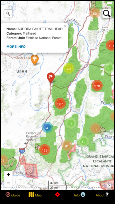
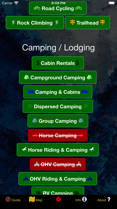
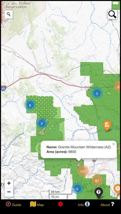
Description by GeoPOI LLC Written by the developer, not by AppBrain. Click to read.
Whether you are a seasoned forest wanderer or are just wanting to learn a little more about the amazing places surrounding your home turf, this app is for you! The data is up to date as of Winter of 2020 and contains over 80,000 recreational points and other features on Forest Service land. These points are symbolized with over 80 color-coded icons that differentiate between the wide variety of categories. The main groups for these categories include Hiking / Biking, Camping / Lodging, Hunting / Fishing, Informative, Other Recreation, Searching, Water Related, and Winter Related.
The app even distinguishes property boundaries and includes hiking trails and Forest Service roads.
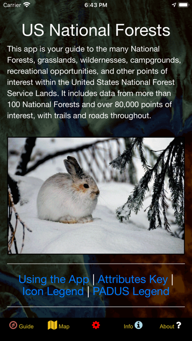
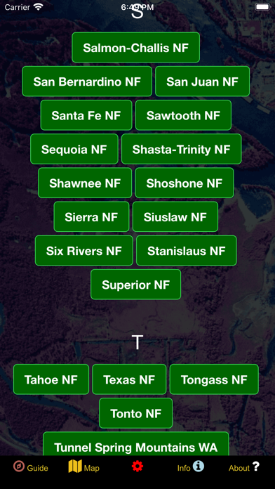
Once using the app, there are five screens. The Guide screen will provide data legends as well as helpful tips for optimizing your navigational experience. On the Info screen, you will find a number of spatial links to the different Forest Service forests, grasslands, and wildernesses. This is a great way to quickly locate specific places and discover new places to explore! The About screen provides links to all of the open-source resources used in the app and gives a little information about the developer GeoPOI. The Map Settings screen is where you can change between one of four different basemaps, download offline imagery, turn on geolocation, and toggle specific point categories. Finally, the Map screen is where it all comes together!
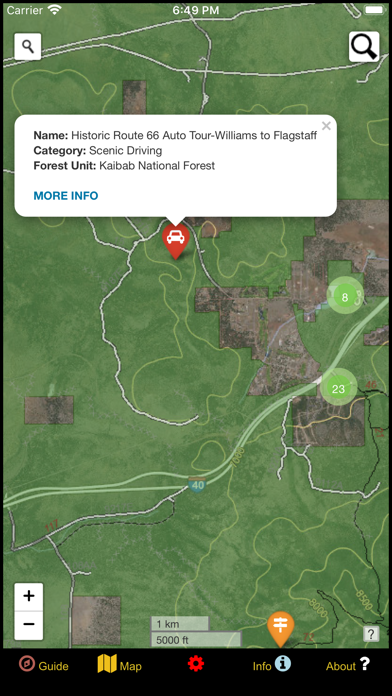
On the Map screen, there are a series of circle clusters at distant zooms that indicate how many points are within a given cluster. As you tap the clusters to zoom in, individual points and icons become visible, along with trails, roads, and boundaries. These features can be clicked on to reveal the name, location, and other useful information. The map screen also has two search tools - the left one can be used to look up addresses and towns, while the right one will allow you to query the names of the features in the database.
There is such a wealth of beauty out there waiting to be discovered. Never before has it been this easy to navigate our National Forests as you travel, no matter where in the United States you are or what kinds of places you are interested in visiting. It's time to experience the rich natural and cultural tapestry of our nation and pay homage to the places that make our country the great land that it is. Come navigate the US Forest Service lands with GeoPOI today!
Safety and technology
Found in the app by AppBrain- Price
- $2.99
- App size
- 49.1 MB
- Content rating
- Everyone
Technologies used by US National Forest Service Map
Releases
Updates seen on the App Store- Version
- 1.0.0
- Launched
- December 2020
No changelog data
Alternatives
Similar apps and more from GeoPOI LLC








Rankings
App Store top chartsApp Store Rankings for US National Forest Service Map
About the app and developer
About US National Forest Service Map
US National Forest Service Map is a navigation app developed by GeoPOI LLC.
User Ratings
US National Forest Service Map is rated 2.67 out of 5 stars. The rating is based on 3 ratings.
App Information
US National Forest Service Map costs $2.99. The app size is 49.06 MB. The latest version available is 1.0.0. The last update was on December 3, 2020.
Technical Requirements
The app has a content rating of Everyone. The app has been available on the App Store since December 2020.
Developer information for GeoPOI LLC
Address:
Frequently asked questions about US National Forest Service Map
Is US National Forest Service Map free?
No. US National Forest Service Map costs $2.99 on the App Store.
Is US National Forest Service Map still available?
Yes. US National Forest Service Map is on the App Store, and the last update we saw was on December 3, 2020.
How large is US National Forest Service Map?
US National Forest Service Map is 49.06 MB.
Is US National Forest Service Map suitable for children?
App Store rates the content of US National Forest Service Map as suitable for everyone.
How do people rate US National Forest Service Map?
US National Forest Service Map scores 2.67 out of 5 stars, from 3 ratings on the App Store.
Who made US National Forest Service Map?
US National Forest Service Map was developed by GeoPOI LLC. It is listed in the navigation category on the App Store.
What are the best alternatives to US National Forest Service Map?
People looking at US National Forest Service Map also look at these navigation apps: Forest Maps 2, LiveTopo, US Public Lands, iHikeGPS : Classic Topo Maps, Florida's A1A.