

Topographic Maps & Trails
Topographic Maps & Trails is made and published by LW Brands, LLC. AppBrain is an independent app data site and isn't affiliated with LW Brands, LLC. The app name, icon, screenshots and description belong to LW Brands, LLC and are shown as published on the App Store.
AppBrain's verdict
EstablishedLoved by users- Best rank
- #41
- Top Paid, United States
- Rating on App Store
- 4.57
- 2,819 ratings
- Last updated
- October 6, 2026
Users love it: 4.6 stars from 2,819 ratings. Its best ranking is #41 in Top Paid, Navigation in United States.
Rankings
App Store top charts- Highest rank
- #41
- Chart
- Top Paid
- Navigation
- Country
- United States
App Store Rankings for Topographic Maps & Trails
Top rankings
| Rank | Country | Category | List |
|---|---|---|---|
| 41 | United States | Navigation | Top Paid |
| 41 | Iran | Navigation | Top Paid |
Ranking history in United States
Competitors
Similar apps and more from LW Brands, LLCAlternatives to Topographic Maps & Trails






More from LW Brands, LLC





Releases
Updates seen on the App Store- Version
- 1.8
- Launched
- November 2018
No changelog data
User feedback
Ratings and reviews on the App StoreComments on Topographic Maps & Trails for iOS
We don't have enough comments to show example comments. Please check back later.
Technology
Found in the app by AppBrain- Price
- $4.99
- App size
- 22.9 MB
- Content rating
- Medium
Technologies used by Topographic Maps & Trails
About the app and developer
About Topographic Maps & Trails
Topographic Maps & Trails is a navigation app developed by LW Brands, LLC.
User Ratings
Topographic Maps & Trails is rated 4.57 out of 5 stars. The rating is based on 2.8 thousand ratings.
App Information
Topographic Maps & Trails costs $4.99. The app size is 22.92 MB. The latest version available is 1.8. The last update was on October 6, 2026.
Technical Requirements
The app has a content rating of Medium Maturity. The app has been available on the App Store since November 2018.
Developer information for LW Brands, LLC
Address:
Frequently asked questions about Topographic Maps & Trails
Is Topographic Maps & Trails free?
No. Topographic Maps & Trails costs $4.99 on the App Store.
Is Topographic Maps & Trails still available?
Yes. Topographic Maps & Trails is on the App Store, and the last update we saw was on October 6, 2026.
How large is Topographic Maps & Trails?
Topographic Maps & Trails is 22.92 MB.
Is Topographic Maps & Trails suitable for children?
App Store gives Topographic Maps & Trails a medium maturity rating, so it is not meant for young children.
How do people rate Topographic Maps & Trails?
Topographic Maps & Trails scores 4.57 out of 5 stars, from 2,819 ratings on the App Store.
Who made Topographic Maps & Trails?
Topographic Maps & Trails was developed by LW Brands, LLC. It is listed in the navigation category on the App Store.
What are the best alternatives to Topographic Maps & Trails?
People looking at Topographic Maps & Trails also look at these navigation apps: Topo Reader, Topo Nomad, Topo Maps+: Topographic Maps, Forest Maps 2, Topo GPS - Topographic maps.
Store listing
By LW Brands, LLC, from the App Store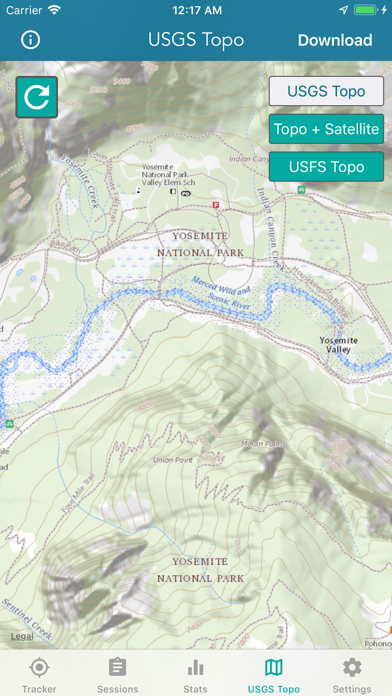

Description by LW Brands, LLC Written by the developer, not by AppBrain. Click to read.
MAIN FEATURES INCLUDE:
- USGS Topographic Maps
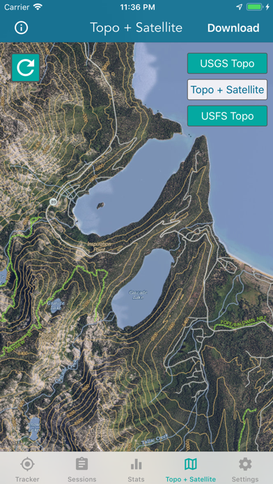
- Satellite + Topo Maps
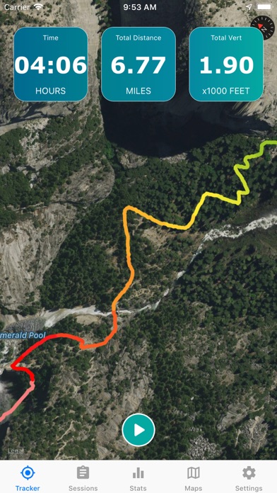
- Hiking Tracker
USGS TOPO MAP
USGS Topo is a tile cache base map service that combines the most current data in The National Map (TNM), and other public-domain data, into a multi-scale topographic reference map.
TOPO + SATELLITE
USGS Imagery Topo is a tile cache base map of orthoimagery in The National Map and US Topo vector data. Orthoimagery data are typically high resolution images that combine the visual attributes of an aerial photograph with the spatial accuracy and reliability of a planimetric map.
Data themes included are Boundaries, Geographic Names, Transportation, Contours, Hydrography, Land Cover, Shaded Relief, Trails, etc.
HIKING TRACKER
Now you can track all of your hiking stats!
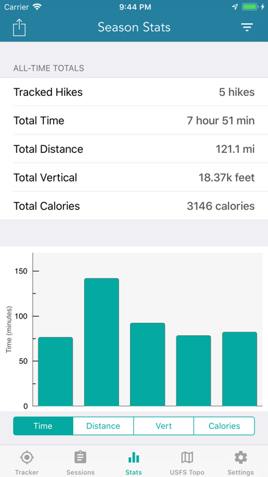
- Track total distance, vertical, time
- Track calories burned
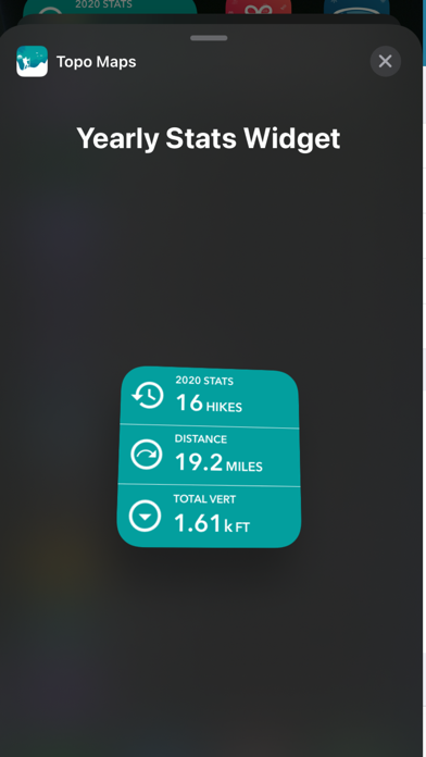
- Keep track of yearly stats
- Color coded tracks by elevation
- Backup your hike data to iCloud
- iOS 14 home screen widget
Have questions?
Feel free to contact me at support@lwbrandsllc.com